What is recorded here
Situated on a low rise of ground in undulating countryside with a possible standing stone (TN035-003002) to the W. A raised semicircular area (dims. 45m SSW-NNE; 11m E-W) enclosed by an earth and stone bank reduced to a scarp (H 1-1.7m) with a modern road intersecting the site at W on a N-S axis. Depicted as a 'Grave Yard site of' on the 1st ed. OS 6-inch map.
The above description is derived from 'The Archaeological Inventory of County Tipperary. Vol. 1 - North Tipperary' compiled by Jean Farrelly and Caimin O'Brien (Dublin: Stationery Office, 2002). In certain instances the entries have been revised and updated in the light of recent research.
Date of upload/revision: 22 September 2008
Neolithic passage tomb; dates to the 4th–3rd millennium BCE. Its semicircular enclosure and association with a possible standing stone suggest ritual or ceremonial significance in the local Neolithic landscape.
The monument record does not grant public access. Check the route and ask the landowner before entering private land.
- What survives
- Recorded monument
Places near here
 Boney HillArchaeological place · 31 yd
 Castle (in ruins)Castle, tower house · 1077 yd
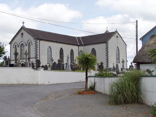 Saint Mary's Catholic Churchchurch/chapel · 1304 yd
 ToberlahanHoly well · 1574 yd
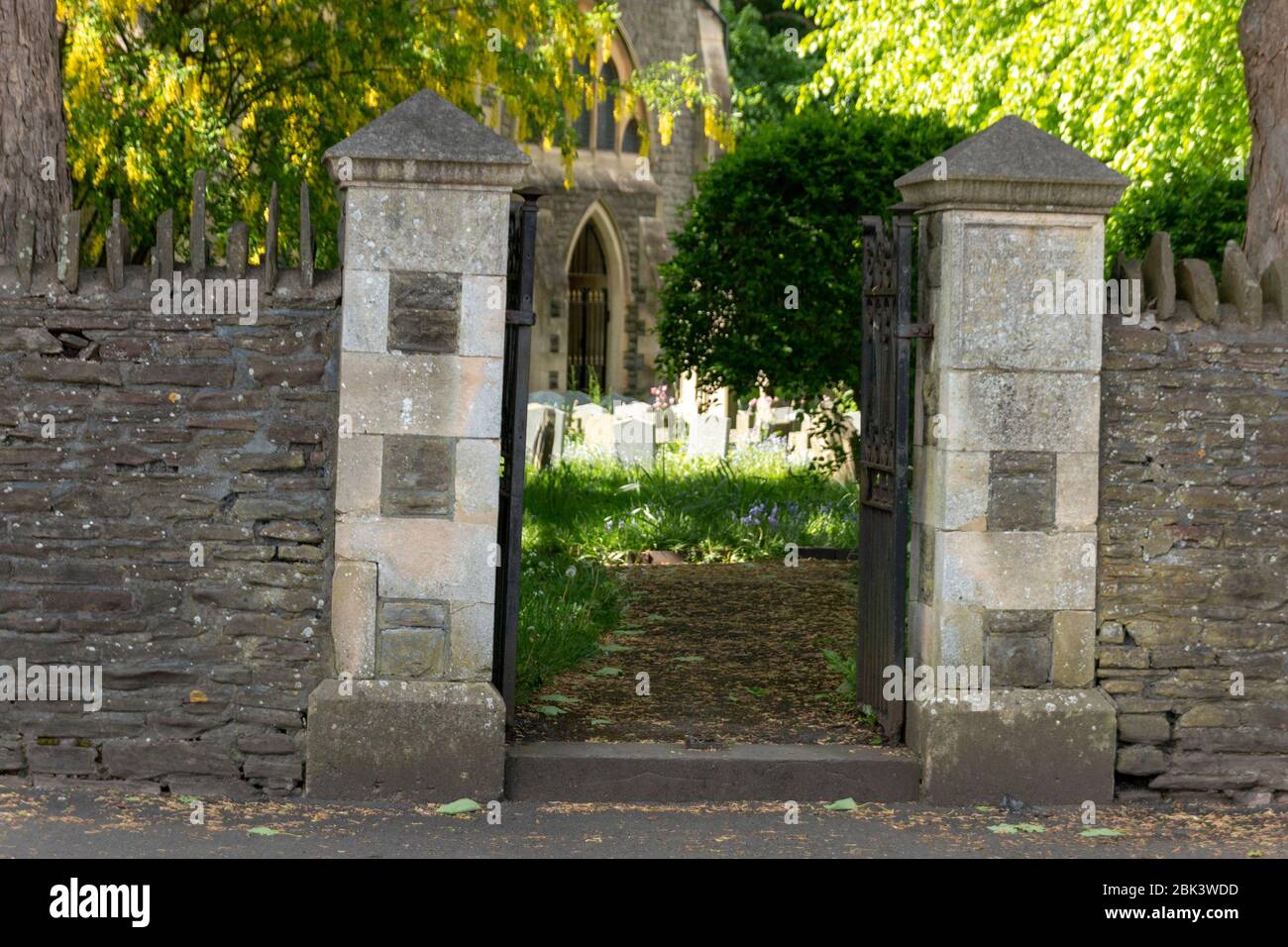 Church (in Ruins) Grave YardChurch · 1626 yd
 CastleCastle, unclassified · 1.3 mi
 Kilvilcorris BogForest · 1.5 mi
 Morris's GroveForest · 1.5 mi
 Devil's Bit MountainMountain / peak · 3.8 mi
 GortagarryMountain / peak · 4.1 mi
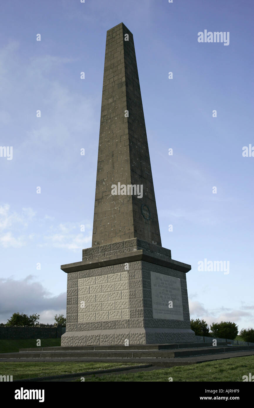 Enclosure in Knockagh (drom Par.)Enclosure · 1577 yd
 Enclosure in KilvilcorrisEnclosure · 1689 yd