What is recorded here
Kilmacahill hides a burial ground beneath ordinary tillage on a south-east facing slope, stripped of visible marker yet still holding the dead. The land may have swallowed names, but it did not erase the purpose of the place. People walked above what is now buried, and the soil remembers the weight of that loss even when pride and proof have faded.
Site of cill (UCC), in tillage, on SE-facing slope. No visible surfacet race.
The above description is derived from the published 'Archaeological Inventory of County Cork. Volume 2: East and South Cork' (Dublin: Stationery Office, 1994). In certain instances the entries have been revised and updated in the light of recent research.
Date of upload/revision: 14 January 2009
The monument record does not grant public access. Check the route and ask the landowner before entering private land.
- What survives
- Recorded monument
Places near here
 SunvilleCountry house · 1301 yd
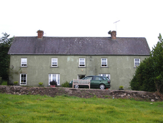 Snugboroughfarm house · 1635 yd
 Burnt mound in BallybranaghBurnt mound · 1.3 mi
 Enclosure in BallybranaghEnclosure · 1.3 mi
 CastleCastle, tower house · 1.4 mi
 Ballycroneen BeachBeach / strand · 3.1 mi
 PohutukawaPohutukawa · 3.3 mi
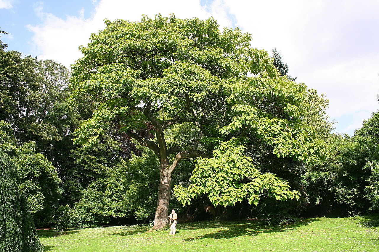 PrincesstreePrincesstree · 3.3 mi
 Ballybrannigan BeachBeach / strand · 3.6 mi
 Anchor The SagaMemorial · 3.9 mi
 Ballintotis CastleCastle · 4.5 mi
 William Heffernan MemorialMemorial · 4.7 mi