What is recorded here
Kilglass is a quiet Irish townland where seven bare bones waited in shallow graves until a sandpit cutter broke the earth in 1954. The dead lay stretched toward northeast and southwest, unnamed and unmarked, trusting only the soil to hold them together. Three graves were damaged before anyone stopped to look, and the pit may have swallowed the rest. What remains is a narrow line of marble, not a chapel, yet it marks the exact place where ordinary living stopped and observation began.
The OSL (Herity 2002, 33) records a second-hand report that, '… there was an old burial-place in Kilglass townland …'. In 1954, inhumation burials of seven individuals were discovered in a sandpit. Three burials had been disturbed, but four could be examined. All were extended inhumations in unprotected graves with the skeletal remains orientated NE-SW. (Cahill and Sikora 2011, Vol 2, 333-6) The sandpit was subsequently extended and the burial area may have been dug away.
Compiled by: Gearóid Conroy
Date of upload: 10 June 2011
The monument record does not grant public access. Check the route and ask the landowner before entering private land.
- What survives
- Recorded monument
Places near here
 Site of Balrinnet CastleCastle, unclassified · 1012 yd
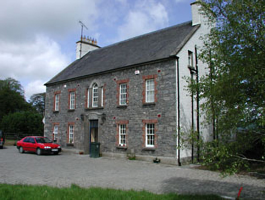 Kilglass Househouse · 1023 yd
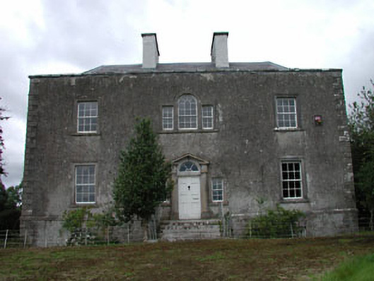 Ballinderry Househouse · 1084 yd
 Site of ChurchChurch · 1494 yd
 Site of ChapelChurch · 1.5 mi
 CastleCastle, unclassified · 1.7 mi
 Buggan's WoodWood · 1.7 mi
 Bog WoodsWood · 2.0 mi
 Croppies' GraveMemorial · 3.1 mi
 The Fairy BowerHeritage attraction · 8.7 mi
 Lullymore Heritage ParkHeritage attraction · 8.7 mi
 Sli na Slainte - mapVisitor information · 11 mi