What is recorded here
Furroor Lower and Furroor Upper hold a burial ground where the dead have watched the Clare sky for generations. The twins of place suggest two villages or two fields sharing one duty of remembrance. People may have laid their dead beside a road, a river or a boundary line, then forgot the names but kept the shape of the grave field.
The Archaeological Survey of Ireland (ASI) is in the process of providing information on all monuments on The Historic Environment Viewer (HEV). Currently the information for this record has not been uploaded. To access available information for research purposes please make an appointment in advance with the Archive Unit (open Fridays 10.00 am – 5.00 pm), Department of Housing, Local Government and Heritage, The Custom House, Dublin 1 D01W6XO or email NMarchive@housing.gov.ie.
The monument record does not grant public access. Check the route and ask the landowner before entering private land.
- What survives
- Recorded monument
Places near here
 LisboyFairy fort / earthen ringfort · 107 yd
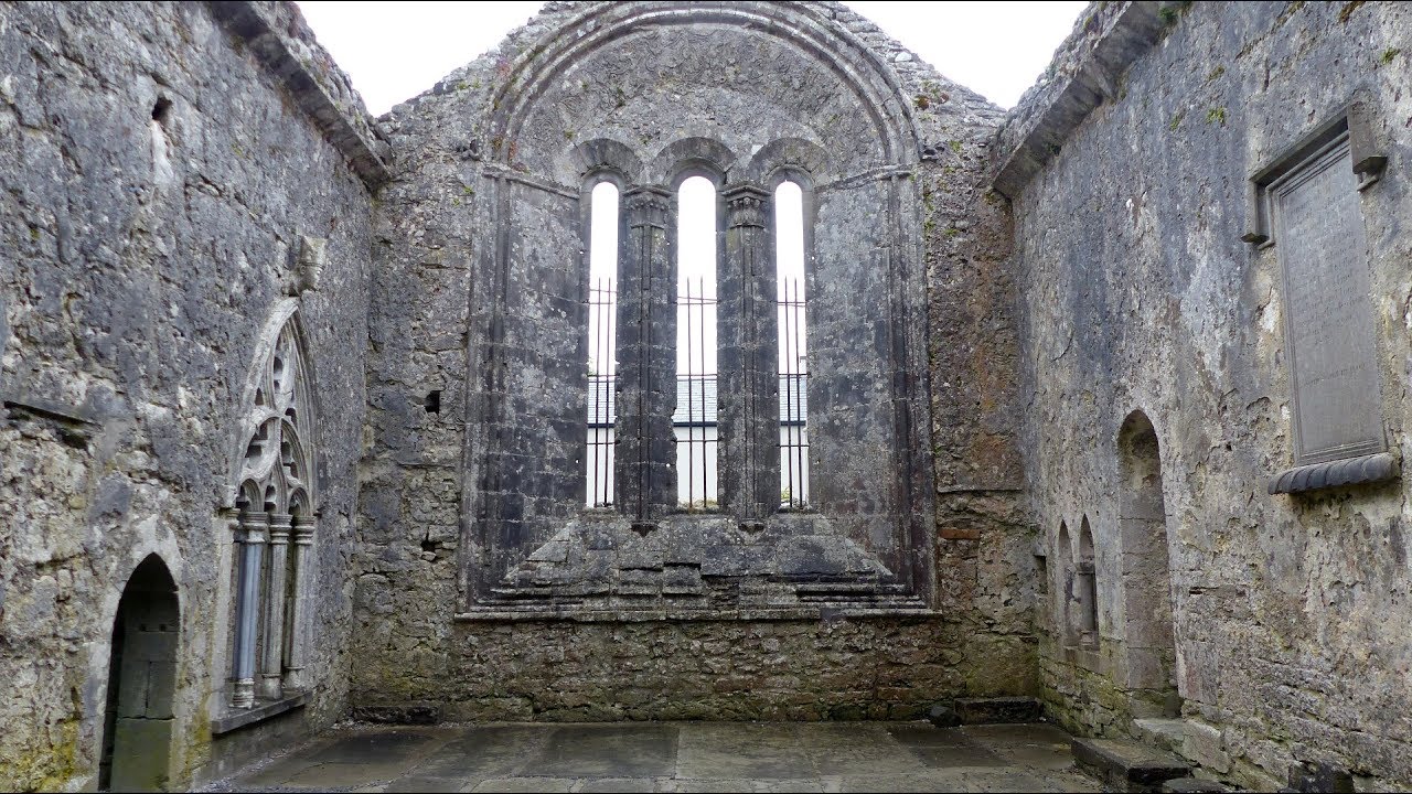 IndicatedFairy fort / earthen ringfort · 1634 yd
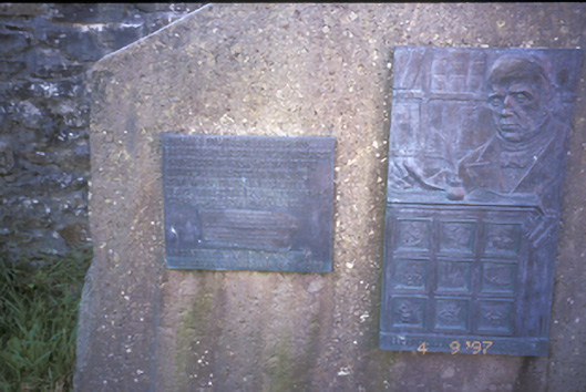 Eugene O'Curry Monumentforge/smithy · 1.6 mi
 Foohagh PointHeadland · 1.9 mi
 Kilkee CliffsViewpoint · 2.0 mi
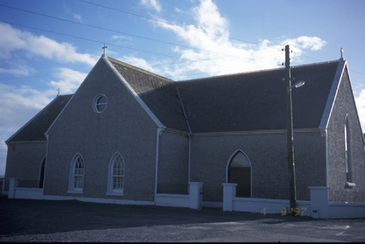 Catholic Church of the Holy Spiritchurch/chapel · 2.0 mi
 IllaunawhillaIslet · 2.0 mi
 Bishop's IslandIslet · 2.0 mi
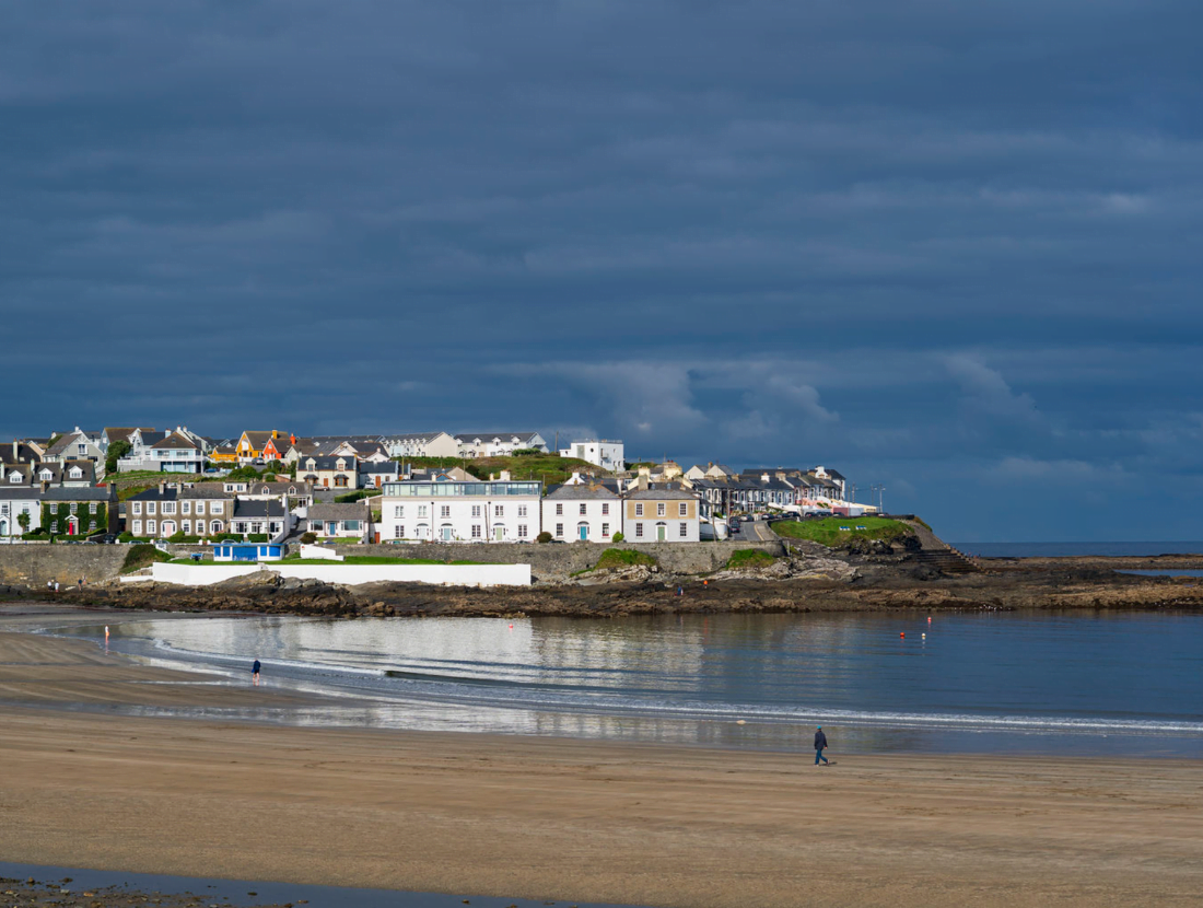 Castle (Site of)Castle, tower house · 2.2 mi
 Knockroe PointHeadland · 2.2 mi
 Doonlicka Castle (in Ruins)Castle, tower house · 2.2 mi
 Ocean Rowers MemorialMemorial · 2.3 mi