What is recorded here
Barryroe Bay and Drombeg are recorded as one place. The distinction is no longer visible. That is not a gap in the account; it is the shape of the account. What is being claimed is a separate identity for Drombeg, not an invented boundary or a changed name.
In pasture, on N-facing slope. Tradition of burial ground in subrectangular field (c. 20m E-W; c. 18m N-S) adjoining W side of ringfort (CO135-096003-); enclosed to N, S and W by low earthen bank. Mass rock (CO135-096002-) in field. No visible trace of burials.
The above description is derived from the published 'Archaeological Inventory of County Cork. Volume 1: West Cork' (Dublin: Stationery Office, 1992). In certain instances the entries have been revised and updated in the light of recent research.
Date of upload/revision: 14 January 2009
This remains an important historical record, but the official description says the monument is no longer visible or has been destroyed. The monument record does not grant public access. Check the route and ask the landowner before entering private land.
- What survives
- No visible remains or recorded as destroyed
Places near here
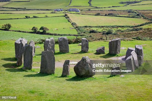 Mass-rock in Drombeg (ibane and Barryroe By.)Mass-rock · 10 yd
 Fulacht fia in Drombeg (ibane and Barryroe By.)Fulacht fia · 557 yd
 Muckruss HouseCountry house · 1365 yd
 road (section of)road (section of) · 1624 yd
 CastleCastle, unclassified · 1730 yd
 Inchydoney BeachBeach / strand · 1.1 mi
 Clonakilty HarbourBay · 1.8 mi
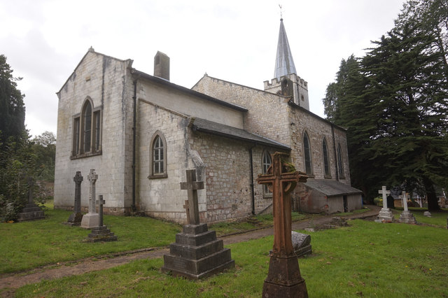 St. James WellSpring · 1.9 mi
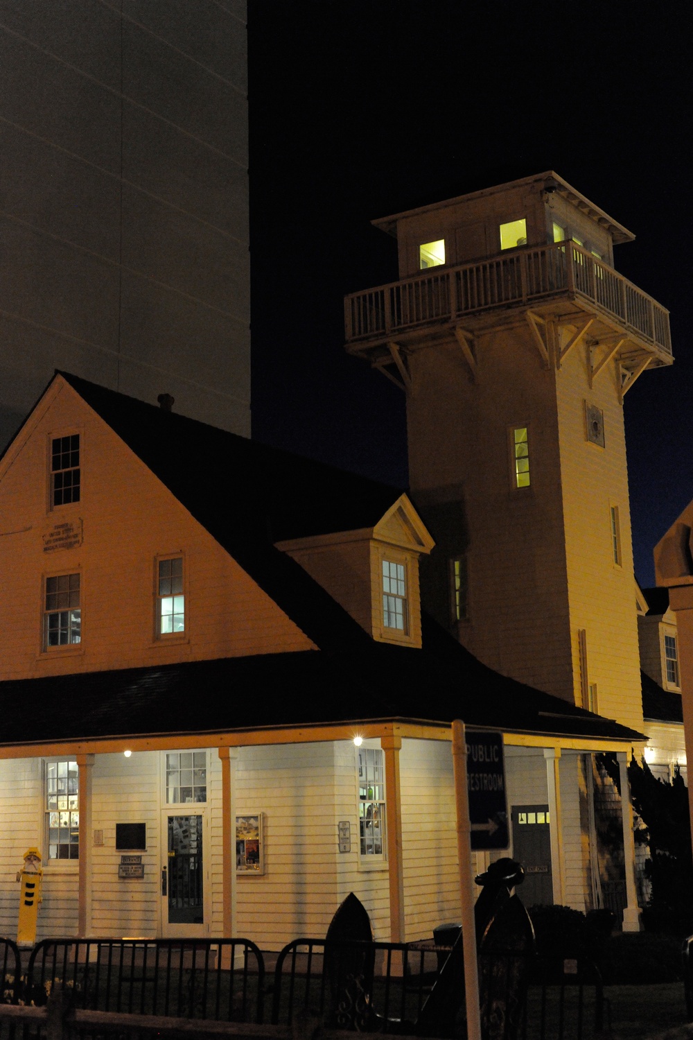 Old Coast Guard StationRuins · 1.9 mi
 Coast ViewViewpoint · 2.0 mi
 Clonakilty Blackpudding Visitor CentreHeritage attraction · 2.0 mi
 Cloch na gCoillteMemorial · 2.2 mi