What is recorded here
Four low stones still stand inside a peat-choked oval in Cloghvoula, perhaps marking the dead of a lost church. Bowman wrote of a circular fence nearby before it vanished, suggesting this is not a random row but a buried boundary. The bog has swallowed the wall and church, leaving only small stones and local memory to hold the shape of the place.
In hilly bogland; stone row (9835) c. 75m to NE. Oval area (12.75m N-S; 11.5m E-W) enclosed by low peat-covered stone bank (H 0.4m). Four low stones in interior thought locally to mark burials (largest stone: H 0.55m; 0.2m x 0.3m). Possibly burial ground and church (14469) referred to by Bowman (1934, 441) in this townland, where 'The surrounding fence has been levelled...enclosure circular, diam. 28yds'.
The above description is derived from the published 'Archaeological Inventory of County Cork. Volume 4: North Cork' (Dublin: Stationery Office, 2000). In certain instances the entries have been revised and updated in the light of recent research.
Date of upload/revision: 14 January 2009
The monument record does not grant public access. Check the route and ask the landowner before entering private land.
- What survives
- Recorded monument
Places near here
 KilnKiln, lime · 458 yd
 Fulacht FiadhFulacht fia · 1666 yd
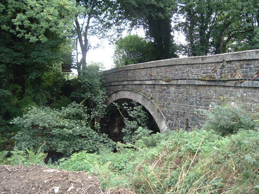 Breanagh Bridgebridge · 1.1 mi
 DallánBurial · 1.3 mi
 Three CountiesPicnic place · 1.7 mi
 Doctor's HillMountain / peak · 4.7 mi
 Mount EagleMountain / peak · 4.7 mi
 Ardnacreach CastleCastle · 6.9 mi
 Kilmurry CastleCastle · 6.9 mi
 Crag CaveCave · 9.1 mi
 TobereenalaffinaSpring · 9.2 mi
 Barna BogForest · 9.3 mi