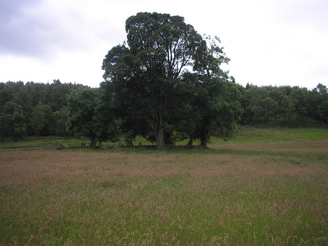
What is recorded here
Monagay church collapsed into the burial ground centuries ago, yet people still carry dead through its western gate and lower them beside the ruined wall. The graveyard stretches eighty metres across a gentle slope, crowded with stones marking 19th and 20th century deaths while the medieval nave disappears into grass and memory. A gabled vault crouches south of the church, waiting like a house built for one family’s longest guest.
On gentle N-facing slope; on E side of road. Roughly rectangular graveyard (c. 80m E-W; c. 50m N-S) enclosed by earthen bank except for low stone wall, with gate, along road to W. Just E-of-centre ruin of late-medieval parish church of Monagay (LI036-125001-). Still in use and maintained; many 19th and 20th century headstones, the earliest noted dated 1807. Mausoleum on S side of church; gabled 19th-century burial vault immediately outside E end of S wall.
Compiled by: Denis Power
Date of upload: 26 August 2011
The monument record does not grant public access. Check the route and ask the landowner before entering private land.
- What survives
- Recorded monument
Places near here
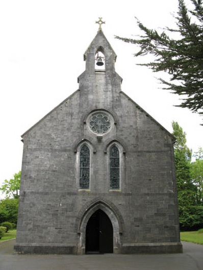 Saint Mary's Catholic Churchchurch/chapel · 193 yd
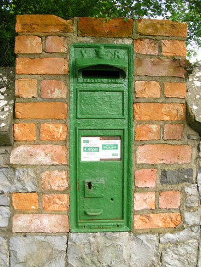 post boxpost box · 267 yd
 Enclosure in GardenfieldEnclosure · 1079 yd
 Holy well in Ballyshane (glenquin By.)Holy well · 1455 yd
 Templars Castle (in ruins)Castle, Anglo-Norman masonry castle · 2.5 mi
 Dotted outlineBawn · 2.5 mi
 Saint Ite's WellSpring · 2.6 mi
 Limerick GreenwayWalking route · 3.5 mi
 Ballagh MountainMountain / peak · 3.6 mi
 Sugar HillMountain / peak · 3.7 mi
 TobereenalaffinaSpring · 3.8 mi
 Mullaghareirk - Banane LoopWalking route · 7.5 mi
Other information
Photo: Credit not shown in the picture search · Rights wording not checked; contact us if this picture should be removed