What is recorded here
Windele called it a calluragh in 1848, a children's burial ground on the western edge of Cahersiveen. Henry saw only an empty round fort in 1957, but the land may have kept its purpose longer than stone walls admit. Now a curved southern boundary marks the site while debris and growth fill the centre, leaving the northern edge and interior hidden. The children are absent from every description, yet the circle still points to them.
This site, located on the W outskirts of Cahersiveen town, is depicted on the OS maps as a circular enclosure. It was described by Henry as a 'small round fort with no distinct remains inside the rampart' (1957, 70), and was noted in 1848 by Windele as a calluragh (RIA MS 2 C 11). At present only a curving boundary, denoting the S outline of the site, survives. Its N limits are no longer distinguishable and the interior is filled with debris and overgrowth.
The above description is derived from A. O'Sullivan and J. Sheehan (compilers), 'The Iveragh peninsula: an archaeological survey of South Kerry'. Cork University Press (1996), no. 1011. In certain instances the entries have been revised and updated in the light of recent research.
Date of upload: 30 July 2013
The monument record does not grant public access. Check the route and ask the landowner before entering private land.
- What survives
- Recorded monument
Places near here
 CastleCastle, unclassified · 665 yd
 Stone CrossCross · 807 yd
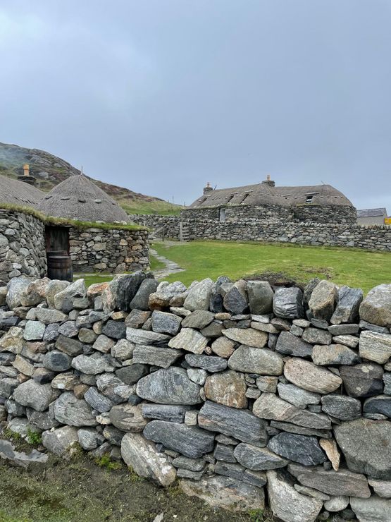 Hut site in GarranebaneHut site · 980 yd
 Foughil IslandIslet · 992 yd
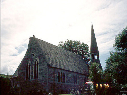 church/chapelchurch/chapel · 1083 yd
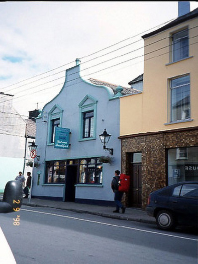 Corner Househouse · 1215 yd
 OutlinedBawn · 1.0 mi
 Ballycarbery CastleRuins · 1.0 mi
 BenteeMountain / peak · 1.1 mi
 White Strand BeachBeach / strand · 1.5 mi
 Laharn Bog LoopWalking route · 1.6 mi
 Beginish IslandIsland · 2.6 mi