
What is recorded here
Velvetstown House in County Cork, Ireland keeps a vanished rectangular burial ground at its southern edge, measuring fifty by twenty-five metres with laneways entering from both sides. The absence of surface trace does not diminish the weight of the dead beneath the grass. It reminds the living that memory requires imagination when evidence fades.
Not shown on 1842 and 1906 OS 6-inch maps; shown on 1937 OS 6-inch map as rectangular area (c. 50m E-W; c. 25m N-S) in S end of demesne of Velvetstown House (14938), with access laneways from E and W sides of demesne. No visible surface trace of burial ground.
The above description is derived from the published 'Archaeological Inventory of County Cork. Volume 4: North Cork' (Dublin: Stationery Office, 2000). In certain instances the entries have been revised and updated in the light of recent research.
Date of upload/revision: 14 January 2009
The monument record does not grant public access. Check the route and ask the landowner before entering private land.
- What survives
- Recorded monument
Places near here
 Velvetstown Housecountry house · 289 yd
 Ballinguile Castle (in Ruins)Castle, tower house · 833 yd
 Lisheen a ThouraFairy fort / earthen ringfort · 1140 yd
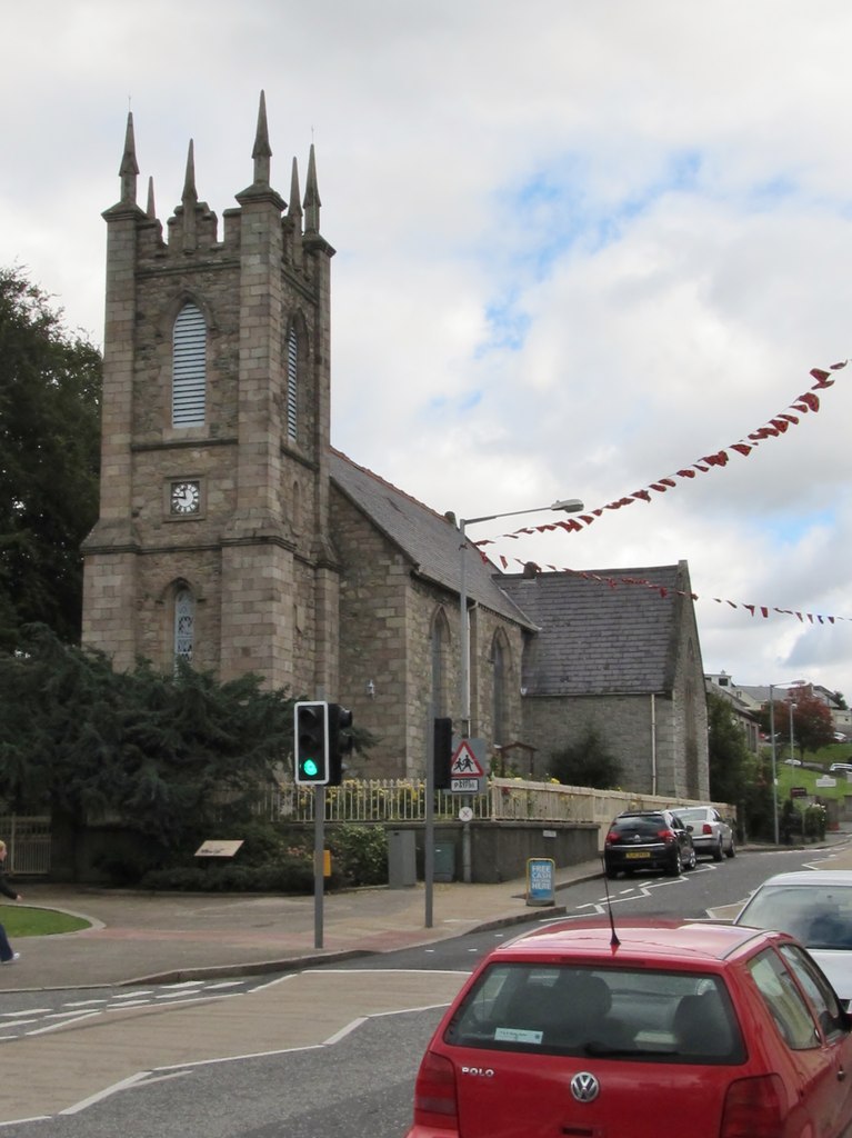 Kilbroney Church (in Ruins)Church · 1266 yd
 Man-made underground passageMan-made underground passage · 1384 yd
 Rogan's Rock CovertWood · 1.0 mi
 Buttevant Rail DisasterMemorial · 1.6 mi
 David HurleyMemorial · 1.7 mi
 SycamoreSycamore · 1.7 mi
 Templeconnell Castle (in Ruins)Castle, tower house · 1.8 mi
 Smith's WellSpring · 3.8 mi
 Lady's WellSpring · 4.3 mi
Other information
Photo: Credit not shown in the picture search · Rights wording not checked; contact us if this picture should be removed