What is recorded here
No grave marks remain in the shallow oval depression, yet local memory claims the soil absorbed the dead from a battle in Taur. That sudden violence explains why the earth holds so many faint mounds beneath rough grazing. The chamber of Taur erased the living, but the ground kept their shape for centuries.
Not shown on 1842 and 1904 OS 6-inch maps. Shown on 1936 OS 6-inch map as sub-oval area (52m NE-SW; 20m NW-SE) defined by broken line. In rough grazing, on SW-facing slope. Sub-oval depression (27.1m x 19.2m; D c. 0.7m), with numerous mounds in interior. Smaller depression (13.5m NE-SW; 3.5m NW-SE) 8.1m to NE. According to Bowman (1934, 110), '...no sign of graves now. It is said that a battle was fought in Taur, and the dead buried here.'
The above description is derived from the published 'Archaeological Inventory of County Cork. Volume 4: North Cork' (Dublin: Stationery Office, 2000). In certain instances the entries have been revised and updated in the light of recent research.
Date of upload/revision: 14 January 2009
The monument record does not grant public access. Check the route and ask the landowner before entering private land.
- What survives
- Recorded monument
Places near here
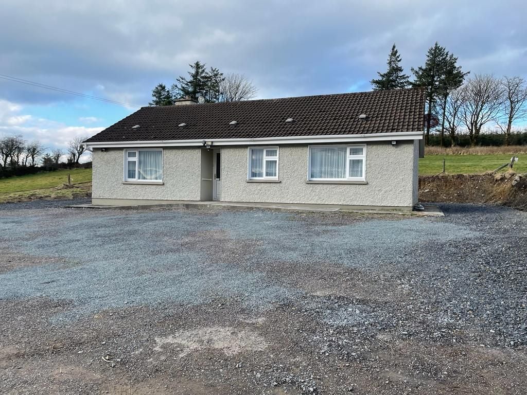 Enclosure in Taur MoreEnclosure · 650 yd
 TaurMountain / peak · 713 yd
 Quarry in Taur MoreQuarry · 1067 yd
 KilnKiln, lime · 1454 yd
 Fulacht fia in Glennamucklagh EastFulacht fia · 2.2 mi
 KnockacummerMountain / peak · 2.6 mi
 Three CountiesPicnic place · 5.3 mi
 Castle McAuliffe (Site of)Castle, unclassified · 5.8 mi
 Mullaghareirk - Banane LoopWalking route · 6.1 mi
 CastleCastle, unclassified · 6.1 mi
 Barna BogForest · 9.9 mi
 Saint Ite's WellSpring · 10 mi