What is recorded here
Ten paces square at the north end of the religín field, the disused burial ground lies fifteen metres south of a possible underground passage. Two maps drawn sixty years apart still trace its edges, suggesting the community kept returning to that exact spot long after formal use stopped. The broken boundary line preserves a deliberate choice: dead people, living memory and hidden passage all belonged inside the same small field.
A small rectangular area (c. 10m x 10m) defined by a broken line is named 'Burial Ground (Disused)' on the 1902 OS 6-inch map. It is in the N end of a field known as the 'religín' and is c. 15m S of a possible Man-made underground passage (CO151-020002-) in the same field. A burial ground (CO151-020001-) is also indicated on the 1842 OS 6-inch map c. 30m to the W.
The above description is derived from the published 'Archaeological Inventory of County Cork. Volume 1: West Cork' (Dublin: Stationery Office, 1992). In certain instances the entries have been revised and updated in the light of recent research.
Date of upload/revision: 14 January 2009
The monument record does not grant public access. Check the route and ask the landowner before entering private land.
- What survives
- Recorded monument
Places near here
 CaveMan-made underground passage · 24 yd
 Burial PlaceBurial ground · 54 yd
 Faill FraoighCliff · 198 yd
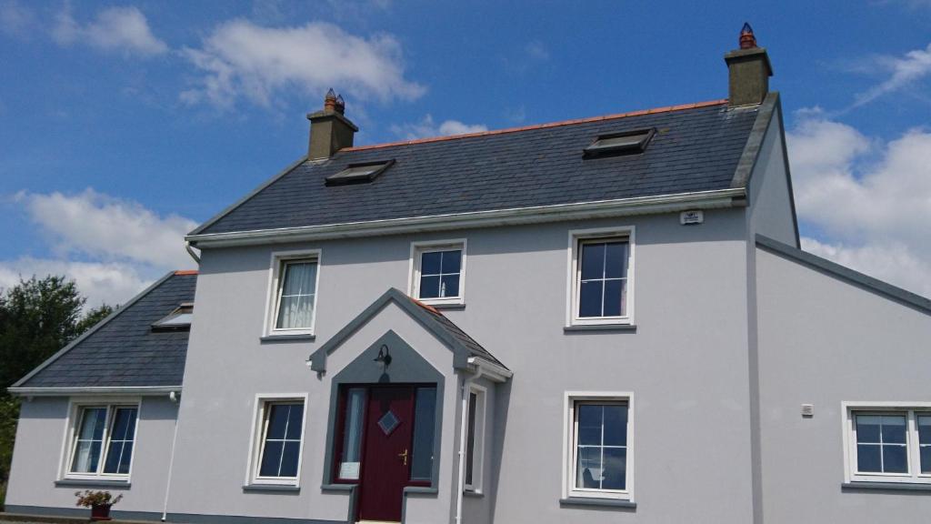 Carraig a NéalladóraMountain / peak · 357 yd
 Peggy's MeadowWood · 644 yd
 Cuaisín Leaca TobarBeach / strand · 699 yd
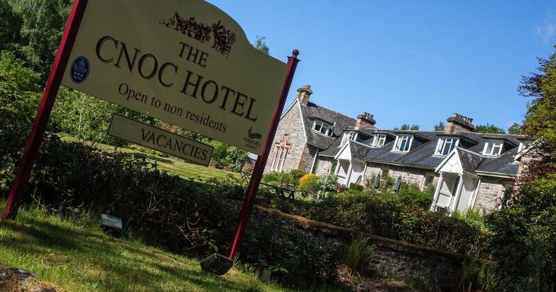 Cnoc Sheáin de BarraMountain / peak · 774 yd
 CuaisínBeach / strand · 797 yd
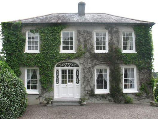 Seafield Househouse · 961 yd
 Mall Househouse · 1003 yd
 Battle of CastlehavenMemorial · 1026 yd
 Bayard Warren PlaqueMemorial · 1026 yd