What is recorded here
Old Grave Yard, mapped in 1842 on the narrow south neck of Low Island, has vanished entirely. Erosion cut through the centre, exposing only scattered quartz pebbles where burials and possibly a mortuary chapel once stood. The sea took the dead, the chapel and the memory of the place, leaving behind a smooth wound in the land.
On narrow neck of land at south side of Low Island. Named 'Old Grave Yard' on OS 6-inch map (1842). Neck of land completely eroded through at centre: on surface to S of erosion, layer of quartz pebbles exposed; to NE quartz pebbles visible in eroded face. According to Burke (1914, 69) there was also a 'mortuary chapel there'. No visible surface trace survives.
The above description is derived from the published 'Archaeological Inventory of County Cork. Volume 1: West Cork' (Dublin: Stationery Office, 1992). In certain instances the entries have been revised and updated in the light of recent research.
Date of upload/revision: 14 January 2009
The monument record does not grant public access. Check the route and ask the landowner before entering private land.
- What survives
- Recorded monument
Places near here
 Chapel in Low IslandChapel · 1 yd
 Oileán na n-UanIsland · 126 yd
 Low IslandIslet · 133 yd
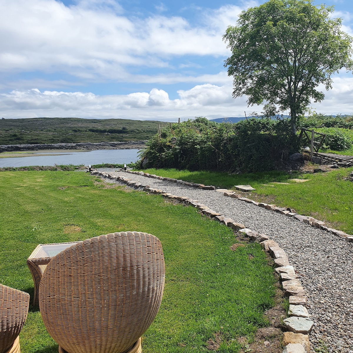 Hut site in Low IslandHut site · 147 yd
 FearNamed rock · 459 yd
 Faill a' TrahaneCliff · 1413 yd
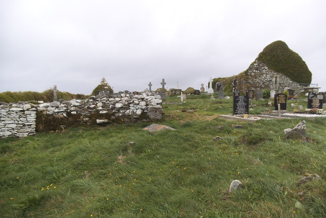 Grave YardGraveyard · 1505 yd
 Myross ChurchRuins · 1510 yd
 Péicin Thalamh na GainmheMountain / peak · 1.0 mi
 Cuas na Finní CrochBeach / strand · 1.0 mi
 Cuas na Geire TheasBeach / strand · 1.0 mi
 Cnoc Sheáin de BarraMountain / peak · 1.4 mi