What is recorded here
Mortons and Cillian towns still distinguish the field, though death predates both names. The Cilleens preserve a burial ground where mortal life continued after formal abandonment. Its overgrown basin and scattered markers suggest people kept returning long after official records stopped noticing.
Not shown on 1842 and 1905 OS 6-inch maps; shown on 1936 OS 6-inch map as rectangular area (c. 20m NW-SE; c. 10m NE-SW) defined by dotted line. In pasture, on SW-facing slope. Overgrown subcircular area (25m N-S; 26m E-W) enclosed by earthen bank NE->WSW; scarp or collapsed bank WSW->NW; heavily overgrown elsewhere. Interior raised saucer-shaped and littered with loose stones; some grave markers noted. Field known as 'the Cilleens' (Power 1932, 118).
The above description is derived from the published 'Archaeological Inventory of County Cork. Volume 4: North Cork' (Dublin: Stationery Office, 2000). In certain instances the entries have been revised and updated in the light of recent research.
Date of upload/revision: 14 January 2009
The monument record does not grant public access. Check the route and ask the landowner before entering private land.
- What survives
- Recorded monument
Places near here
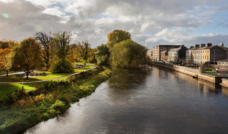 Fulacht fia in Newtown (duhallow By.)Fulacht fia · 1153 yd
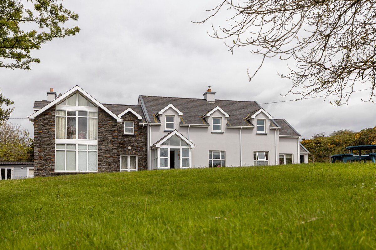 Dromsligo HouseCountry house · 1528 yd
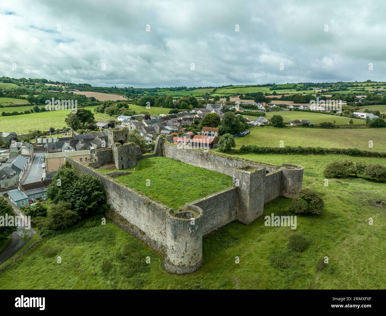 Enclosure in KilletraEnclosure · 1556 yd
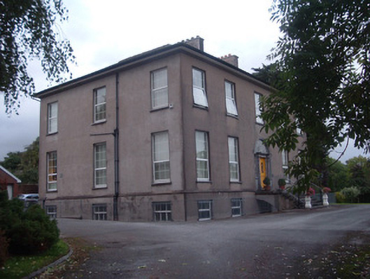 Firville Housecountry house · 1626 yd
 In loving memory of Elvis O'DonoghueMemorial · 1.7 mi
 Mallow River TrailVisitor information · 1.8 mi
 Castle (Site of )Castle, unclassified · 1.8 mi
 Blackwater WayWalking route · 1.9 mi
 Castle (Remains of)Castle, unclassified · 2.0 mi
 Dromaneen CastleHeritage attraction · 2.2 mi
 Graveyard in Ballygiblin (duhallow By.)Graveyard · 5.0 mi
 European YewEuropean Yew · 6.6 mi