What is recorded here
Marian and I walked past a disused burial ground where an unmarked arc of rough grass still curves beside the bay. We skipped stones across the water until they vanished into the blue distance. Her laughter returned later in the sound of the sea, not in any answer I could catch.
Not shown on first two eds of OS 6-inch maps (1842; 1902). On level ground near shoreline on E side of Bantry Bay. Arc of rough ground (L 16m; Wth 8m) defines burial area. No grave markers noted. Battlefield (CO118-005002-) in same field to N.
The above description is derived from the published 'Archaeological Inventory of County Cork. Volume 1: West Cork' (Dublin: Stationery Office, 1992). In certain instances the entries have been revised and updated in the light of recent research.
Date of upload/revision: 14 January 2009
The monument record does not grant public access. Check the route and ask the landowner before entering private land.
- What survives
- Recorded monument
Places near here
 MillMill, unclassified · 219 yd
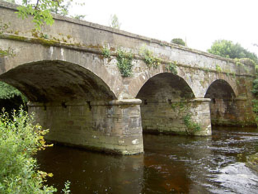 Dunnamark Bridgebridge · 222 yd
 Settlement cluster in Newtown (bantry By.)Settlement cluster · 883 yd
 Newtown FortBastioned fort · 1091 yd
 Graveyard in TownlotsGraveyard · 1.0 mi
 Tourist OfficeVisitor information · 1.1 mi
 St. Brendans StatueMemorial · 1.1 mi
 Chapel IslandIslet · 1.2 mi
 Horse IslandIslet · 1.2 mi
 Bantry HouseHeritage attraction · 1.6 mi
 Ballylickey BayBay · 1.6 mi
 Eagle PointHeadland · 1.6 mi