What is recorded here
Situated N of the present Protestant church, rectangular shaped area enclosed by a wall (1835 OS 6-inch map dims. c. 70m E-W; c. 26m N-S). Contains a large number of 18th century graveslabs, one of which commemorates a 16th century interment. The earliest burials appear to be on the higher ground which slopes steeply at the NW.
Compiled by: Claire Breen
Date of upload: 12 July 2012
The monument record does not grant public access. Check the route and ask the landowner before entering private land.
- What survives
- Recorded monument
Places near here
 Church in CollonChurch · 6 yd
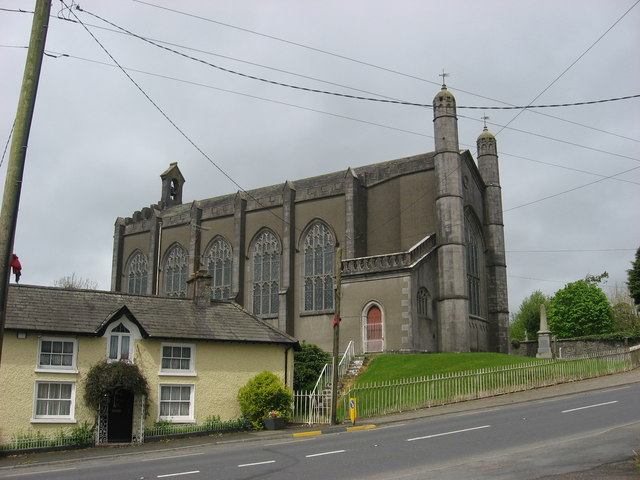 Collon Churchchurch/chapel · 19 yd
 Settlement cluster in CollonSettlement cluster · 142 yd
 Kennys WellHoly well · 680 yd
 Black HillMountain / peak · 1323 yd
 Pedunculate OakPedunculate Oak · 1718 yd
 Irish Military Museum And ParkMuseum · 1.1 mi
 Mount OrielMountain / peak · 1.4 mi
 Cloghar WoodForest · 1.5 mi
 Drummond TowerCastle · 2.1 mi
 Site of Old CastleCastle, unclassified · 2.6 mi
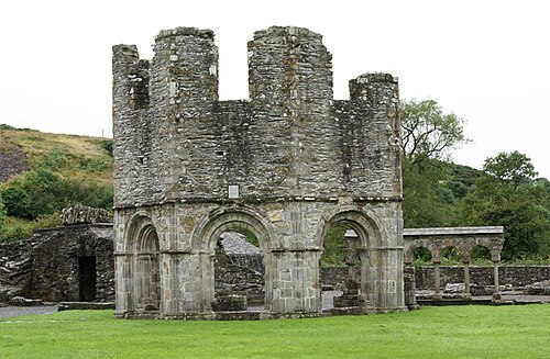 Mellifont AbbeyHeritage attraction · 2.6 mi