
What is recorded here
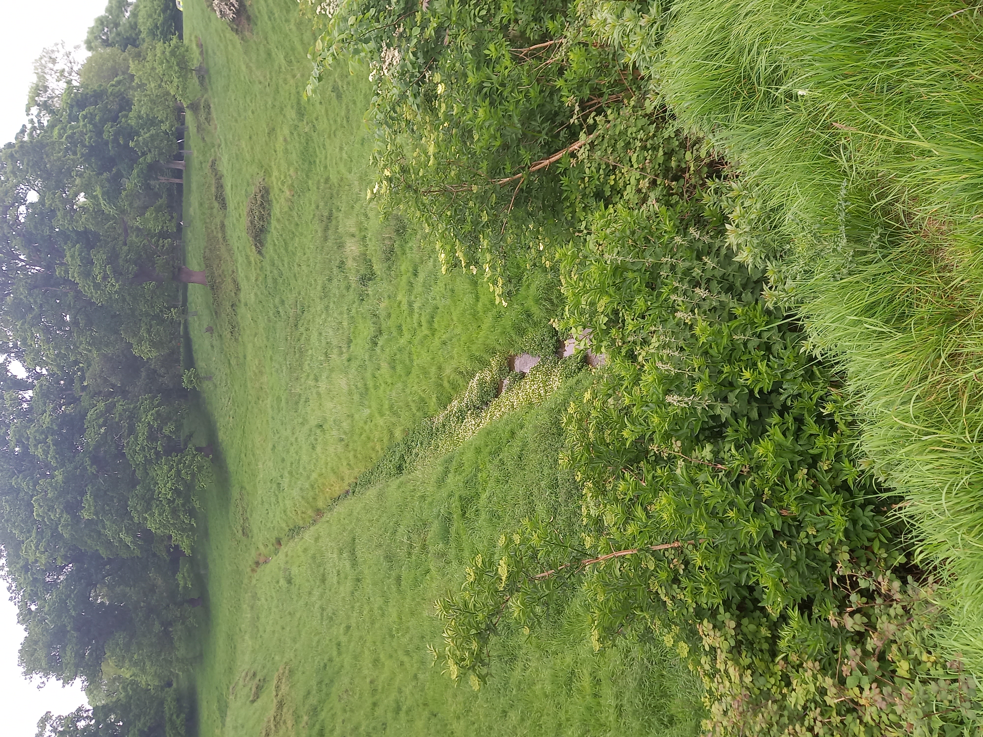
The 1938 OS map locates the burials ground next the River Road cottages. The finding of a skeleton and two skulls in a field near the river Tolka were first reported to the National Museum of Ireland by the Garda Sergeant at Blanchardstown in 1937. In 1938 the National Museum led an excavation there. About one third of the site was excavated and almost 400 skeletons of men, women and children were uncovered and removed for examination. Blue and white glass beads, a lignite ring, bronze pins, flint arrowheads and some iron objects were found with them. A silver coin of Eadgar of England dated AD 967 was also found indicating the site was in use in the 10th century (NMI Topographical Files). Currently a field of pasture. Compiled by: Geraldine Stout Updated by: Christine Baker Date of upload: 23 January 2015
A local ancient tomb; wider significance not recorded.
The monument record does not grant public access. Check the route and ask the landowner before entering private land.
- What survives
- Recorded monument
Places near here
 Ranelagh Bridgebridge · 444 yd
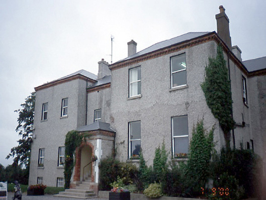 Elmgreenhouse · 628 yd
 Earthwork in DunsinkEarthwork · 641 yd
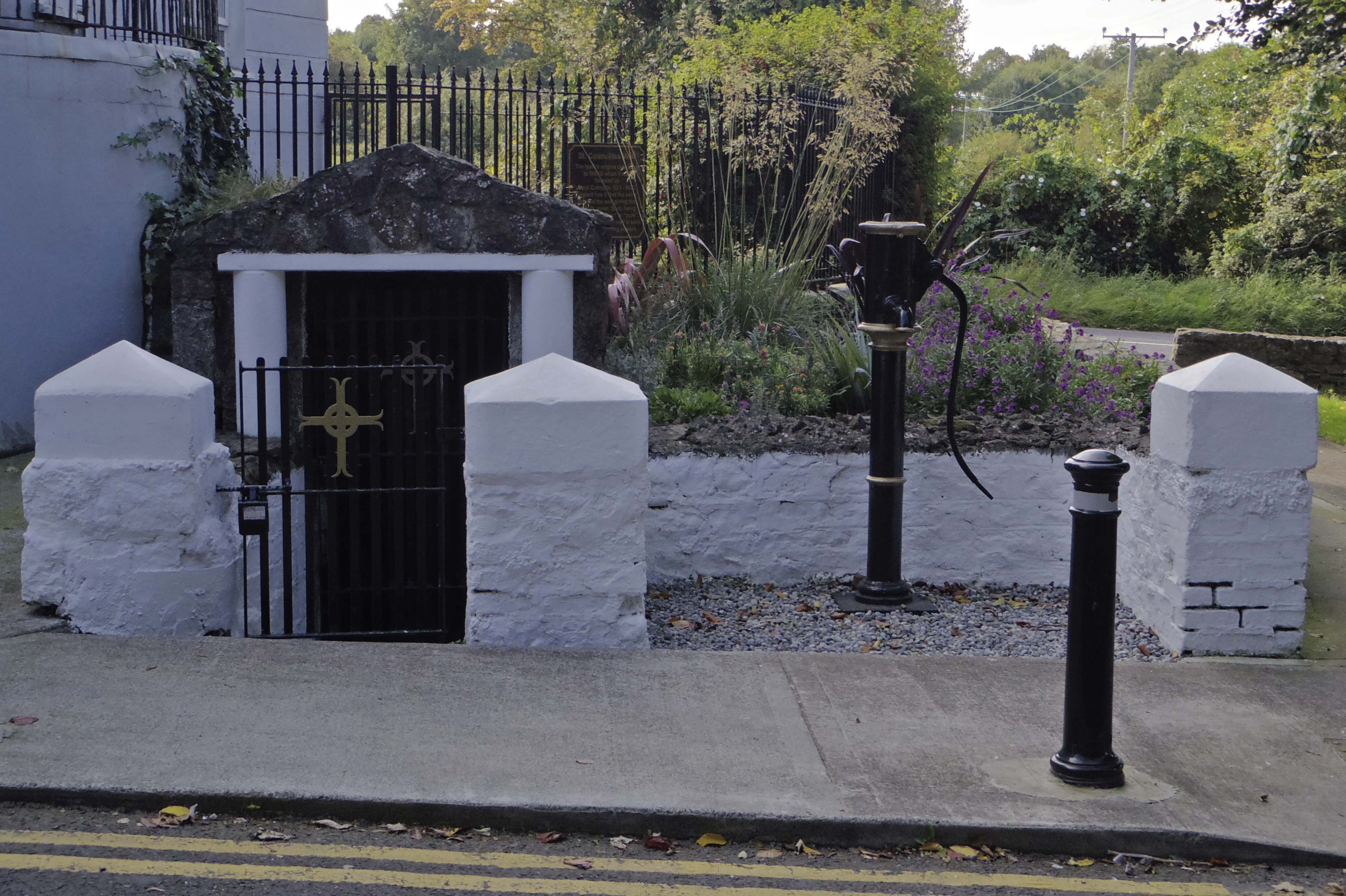 Holy well in AbbotstownHoly well · 687 yd
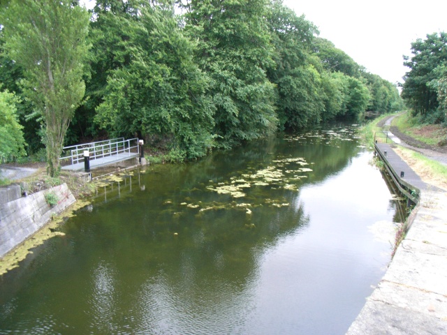 The Royal Canal WayWalking route · 1.1 mi
 National Famine WayWalking route · 1.1 mi
 Castleknock CastleCastle · 1.2 mi
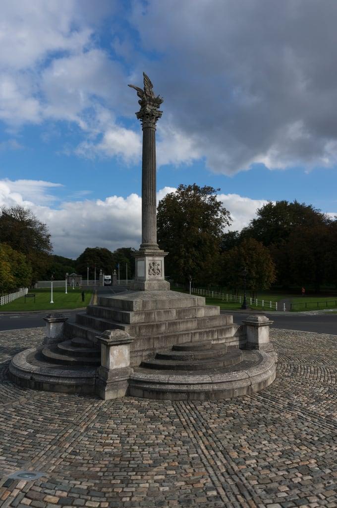 Martin Savage Memorial MonumentMonument · 1.2 mi
 Site of CastleCastle, tower house · 1.2 mi
 Blanchardstown Centre information deskVisitor information · 1.6 mi
 Furry GlenWood · 1.7 mi
 Oldtown WoodWood · 1.7 mi
Other information
Photo: Credit not shown in the picture search · Rights wording not checked; contact us if this picture should be removed