What is recorded here
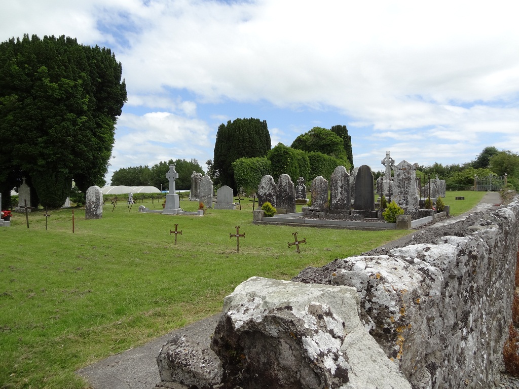
On N side of road, in gently undulating terrain. Rectangular graveyard (c. 50m E-W; c. 35m N-S) enclosed by stone wall; style and gateway near W end of S wall. Interior clear of overgrowth with recent concrete paths. Earliest headstones noted date to 1790s. Just E-of-centre ruin of Kilmacow parish church (LI030-084001-).
Compiled by: Denis Power
Date of upload: 26 August 2011
The monument record does not grant public access. Check the route and ask the landowner before entering private land.
- What survives
- Recorded monument
Places near here
 Kilmacow Church (in ruins)Church · 19 yd
 Enclosure in KilmacowEnclosure · 386 yd
 Kilmacow Ho.Bawn · 661 yd
 Abbey (in ruins)Church · 705 yd
 Ecclesiastical enclosure in KilmacowEcclesiastical enclosure · 718 yd
 Kilfinny CastleCastle · 1.2 mi
 KnockfeerinaMountain / peak · 1.2 mi
 Kinnoor WellSpring · 1.4 mi
 Famine stoneMemorial · 1.5 mi
 Flat cemetery in Kiltenan SouthFlat cemetery · 2.7 mi
 Dysert AenghusaHeritage attraction · 3.1 mi
 Biodiversity in the Maigue CatchmentVisitor information · 3.9 mi