
What is recorded here
Kilnaknappogue Burial Ground for Children appears on the 1842 map as a small pastoral enclosure where young lives ended before records named them. Conifers now crowd three sides of the marker-studded soil, hiding the place from casual sight but not from memory. The children may have belonged to nearby farms or passed through during fever years, their names lost while their small graves remained distinct enough to measure.
Marked 'Kilnaknappogue Burial Ground for Children' on OS 6-inch map (1842). In pasture. Irregular area (16m N-S; 10m E-W) defined by grave markers; bounded to N, S and W by coniferous plantation.
The above description is derived from the published 'Archaeological Inventory of County Cork. Volume 1: West Cork' (Dublin: Stationery Office, 1992). In certain instances the entries have been revised and updated in the light of recent research.
Date of upload/revision: 14 January 2009
The monument record does not grant public access. Check the route and ask the landowner before entering private land.
- What survives
- Recorded monument
Places near here
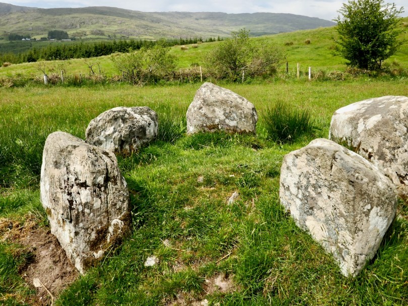 Stone CircleRadial-stone enclosure · 645 yd
 Enclosure in KilnaknappogeEnclosure · 672 yd
 Douce MountainMountain / peak · 1.8 mi
 St Finbarr's Pilgrim RouteWalking route · 2.2 mi
 Doughill MountainMountain / peak · 2.3 mi
 MillMill, fulling · 2.8 mi
 Carding MillMill, carding · 2.8 mi
 Carriganass CastleCastle · 3.7 mi
 Gougane BarraValley and heritage place · 3.9 mi
 Kealkill stone circleVisitor information · 3.9 mi
 European ashEuropean ash · 3.9 mi
 CaoinkeenCliff · 6.1 mi
Other information
Photo: Credit not shown in the picture search · Rights wording not checked; contact us if this picture should be removed