
What is recorded here
West Cork, Ireland. Scrub holds a raised oval, eleven metres wide and fifteen long, its low scarp still drawing the eye though grave markers have vanished under growth. The 1842 survey called it a burial ground, and the shape agrees: a deliberate edge around lives now lost to time. Walk its rim at dusk and the quiet feels occupied, as if the dead are merely waiting for someone to remember their names.
In scrub. Marked 'Burial Ground' on OS 6-inch map (1842). Raised circular area (11m E-W; 15m N-S) defined by low scarp. Interior overgrown but some grave markers noted.
The above description is derived from the published 'Archaeological Inventory of County Cork. Volume 1: West Cork' (Dublin: Stationery Office, 1992). In certain instances the entries have been revised and updated in the light of recent research.
Date of upload/revision: 14 January 2009
The monument record does not grant public access. Check the route and ask the landowner before entering private land.
- What survives
- Recorded monument
Places near here
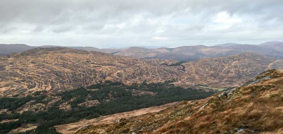 Shrone HillMountain / peak · 1628 yd
 garden templegarden temple · 1670 yd
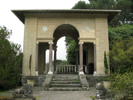 garden structure miscgarden structure misc · 1736 yd
 Big PointHeadland · 1.0 mi
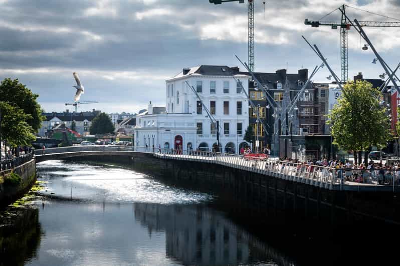 Crowdy PointHeadland · 1.1 mi
 GarinishIsland · 1.1 mi
 Garnish IslandIsland · 1.1 mi
 IlnacullinIsland · 1.2 mi
 Bryce HouseMuseum · 1.2 mi
 Enclosure in Garinish (bear By., Kilcaskan Par.)Enclosure · 1.2 mi
 Lady Bantry's LookoutViewpoint · 1.6 mi
 Graveyard in CappyaughnaGraveyard · 1.6 mi
Other information
Photo: Credit not shown in the picture search · Rights wording not checked; contact us if this picture should be removed