
What is recorded here
Ten grave markers still stand inside a raised circular area five metres across, marking a disused burial ground in County Cork pasture. The southerly aspect catches warmth on stones that have watched grass grow and herds pass for generations. Whoever laid those marks believed the dead deserved a shaped place, not forgotten soil, and that belief still holds the circle steady beneath the turf.
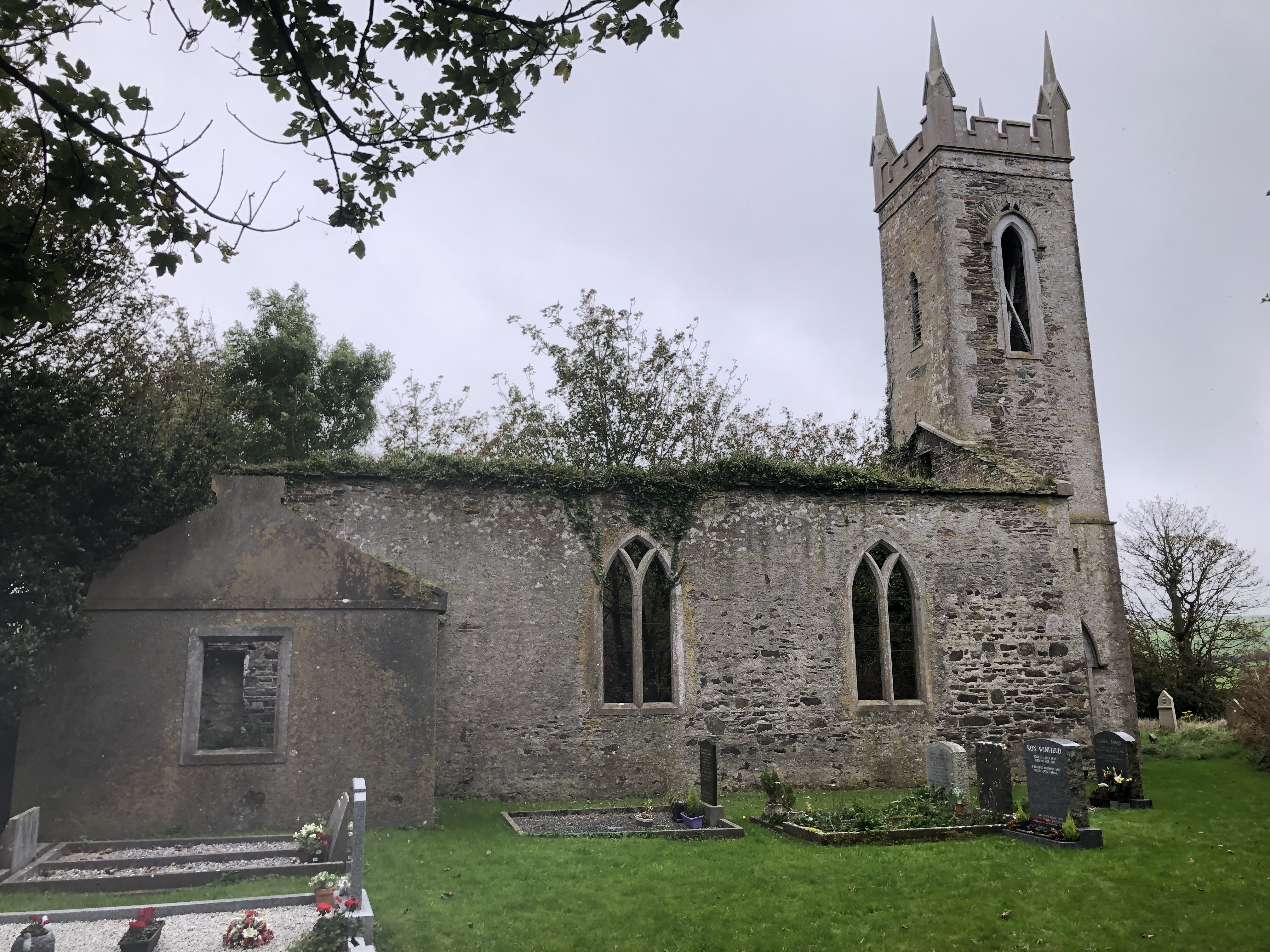
In pasture with good southerly aspect. Raised circular area (H 0.4m; diam. 5m) with 10 grave markers in interior.
The above description is derived from the published 'Archaeological Inventory of County Cork. Volume 1: West Cork' (Dublin: Stationery Office, 1992). In certain instances the entries have been revised and updated in the light of recent research.
Date of upload/revision: 14 January 2009
Neolithic passage tomb; dates to the 4th–3rd millennium BCE. Its raised circular form and multiple grave markers suggest a communal burial function, typical of early Irish megalithic traditions.
The monument record does not grant public access. Check the route and ask the landowner before entering private land.
- What survives
- Recorded monument
Places near here
 Kill Burial Gd for ChildrenBurial ground · 566 yd
 IndicatedQuarry · 616 yd
 Settlement cluster in BallymacshoneenSettlement cluster · 729 yd
 Country house in BallylangyCountry house · 1018 yd
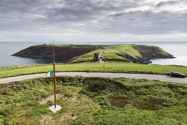 Signal Tower ViewViewpoint · 1649 yd
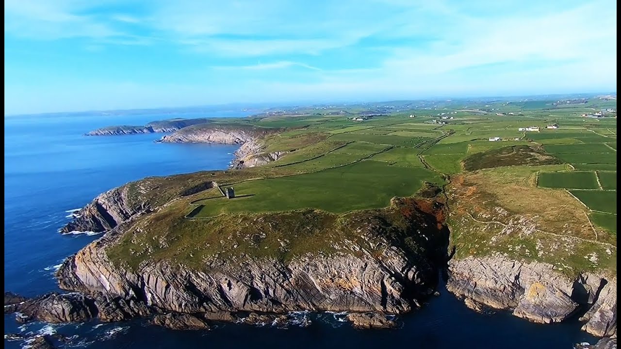 Seven Heads PeninsulaViewpoint · 1713 yd
 HDS walk Coolim CliffsHeritage attraction · 1.8 mi
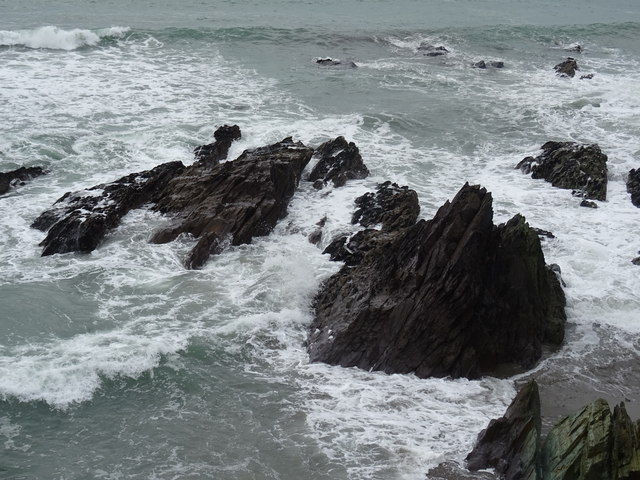 Dunworly BeachBeach / strand · 1.8 mi
 Lislee Court (Site of)Castle, unclassified · 1.9 mi
 Dunworly CastleCastle · 1.9 mi
 Blind StrandBeach / strand · 2.0 mi
 Dunworly PointHeadland · 2.0 mi
Other information
Photo: Credit not shown in the picture search · Rights wording not checked; contact us if this picture should be removed