
What is recorded here
Only a short arc of a circular stone wall survives here to the N of a modern field boundary. The wall which is grass-grown is .4m in height, and from 3m to 4m wide. Remains of facing can be seen on the interior. The interior is slightly lower than the ground outside. The diameter (presuming an originally circular enclo-sure) was probably c. 15m. It is located on level grazing land overlooking Lough Swilly closeby to the E.
The above description was derived from the 'Archaeological Survey of County Donegal. A description of the field antiquities of the County from the Mesolithic Period to the 17th century.' Compiled by: Brian Lacey with Eamon Cody, Claire Cotter, Judy Cuppage, Noel Dunne, Vincent Hurley, Celie O'Rahilly, Paul Walsh and Seán Ó Nualláin (Lifford: Donegal County Council, 1983). In certain instances the entries have been revised and updated.
Date of upload: 22 September 2008
A local fairy fort (ringfort/rath); wider significance not recorded.
The monument record does not grant public access. Check the route and ask the landowner before entering private land.
- What survives
- Recorded monument
Places near here
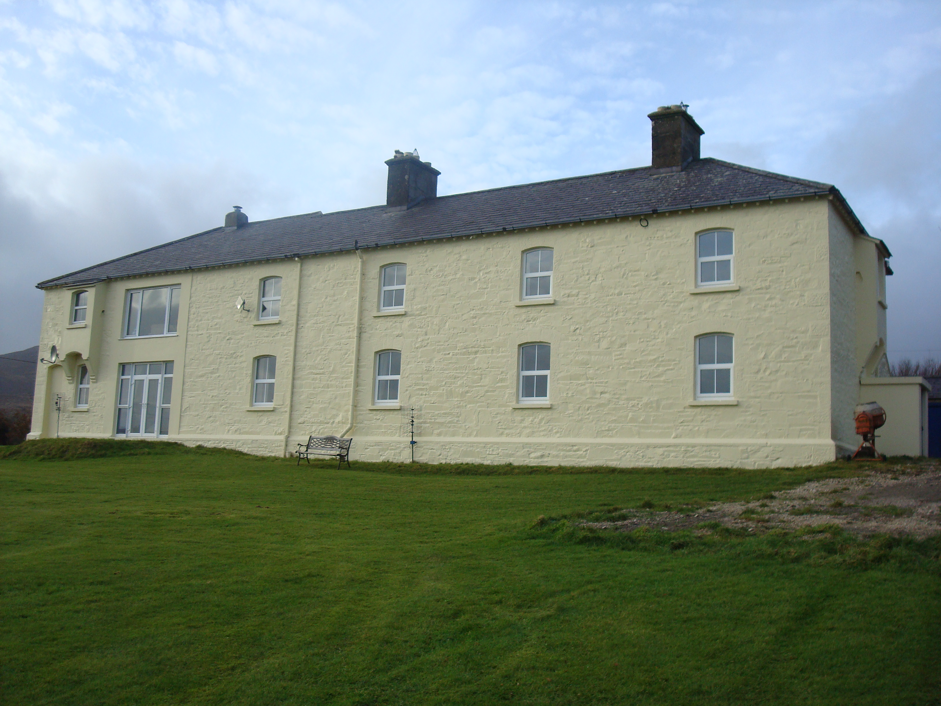 Knockalla Coastguard Stationcoastguard station · 25 yd
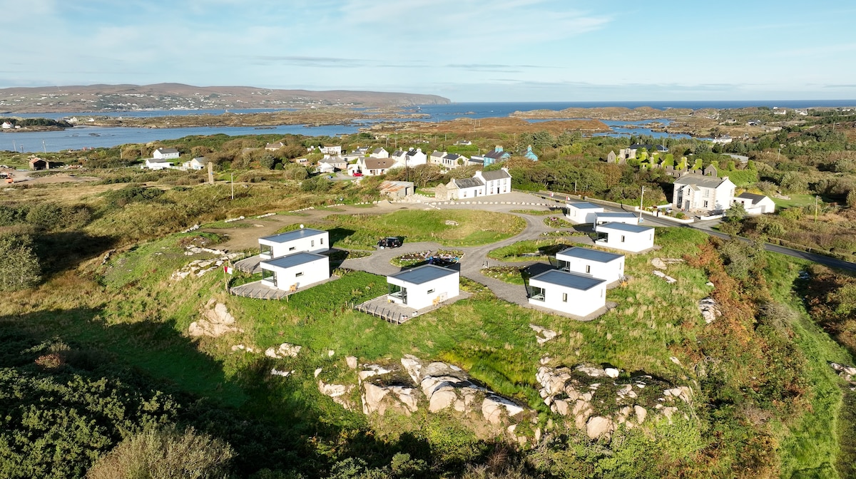 Bun na Toinne Coastal Promontory FortPromontory fort, coastal · 451 yd
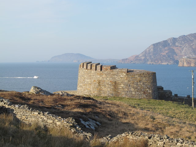 Knockalla FortMartello tower and coastal battery · 914 yd
 Ballymastocker StrandViewpoint · 1.0 mi
 Wild Atlantic Way:Ballymastocker StrandVisitor information · 1.0 mi
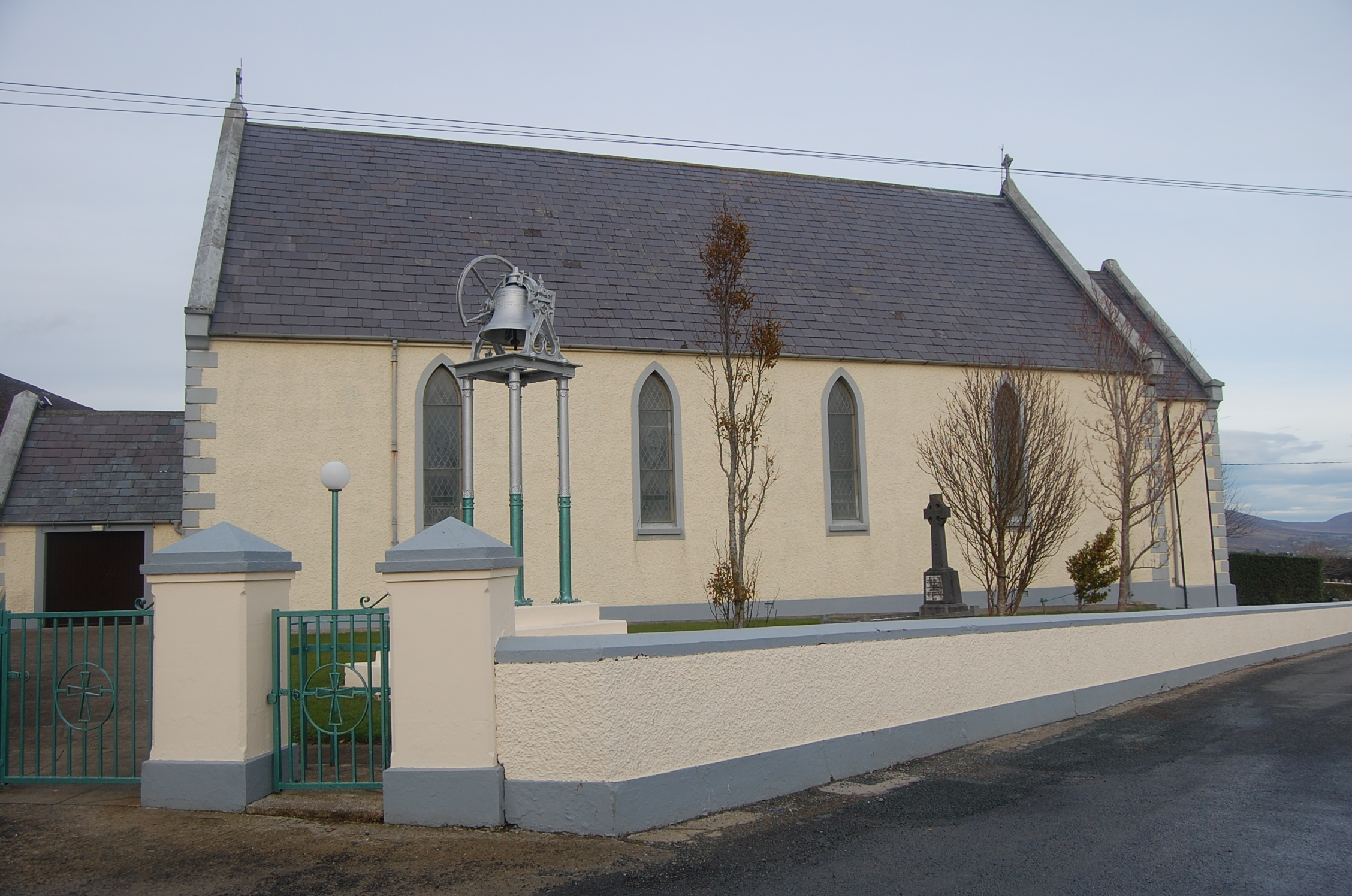 Saint Mary's Catholic Churchchurch/chapel · 1.3 mi
 PortsalonOfficial bathing water · 1.7 mi
 Dunree HeadHeadland · 1.9 mi
 Castle Ross (Site of)Castle, unclassified · 2.3 mi
 Wych ElmWych Elm · 3.5 mi
 Stragill BeachBeach / strand · 3.7 mi
 Old CastleCastle, unclassified · 3.8 mi
Other information
Photo: Credit not shown in the picture search · Rights wording not checked; contact us if this picture should be removed