What is recorded here
The site is described as 'Burial Ground for Strangers found drowned' on the 3rd edition of the OS 6-inch map but the exact position is not indicated. A limited search in the general area revealed no trace of it. The area is one of extensive rock outcrop at the base of the Knockalla mountain range. The location point for this record has been positioned at the spot where the name is printed on the OS 25-inch plan (surveyed 1900)
The above description was derived from the 'Archaeological Survey of County Donegal. A description of the field antiquities of the County from the Mesolithic Period to the 17th century.' Compiled by: Brian Lacey with Eamon Cody, Claire Cotter, Judy Cuppage, Noel Dunne, Vincent Hurley, Celie O'Rahilly, Paul Walsh and Seán Ó Nualláin (Lifford: Donegal County Council, 1983). In this instance the entry has been revised and updated.
Revised by: Paul Walsh
Date of upload: 3 December 2012
A local ancient tomb; wider significance not recorded.
The monument record does not grant public access. Check the route and ask the landowner before entering private land.
- What survives
- Recorded monument
Places near here
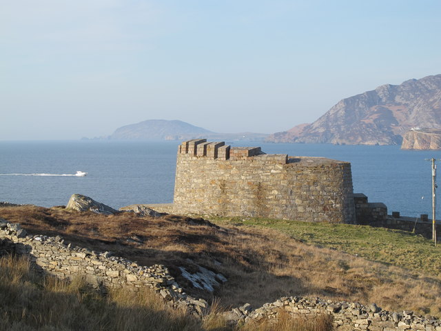 Knockalla FortMartello tower and coastal battery · 284 yd
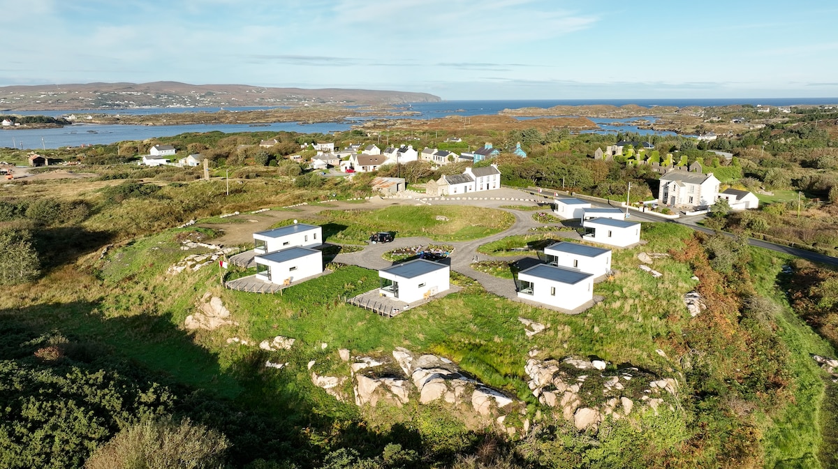 Bun na Toinne Coastal Promontory FortPromontory fort, coastal · 641 yd
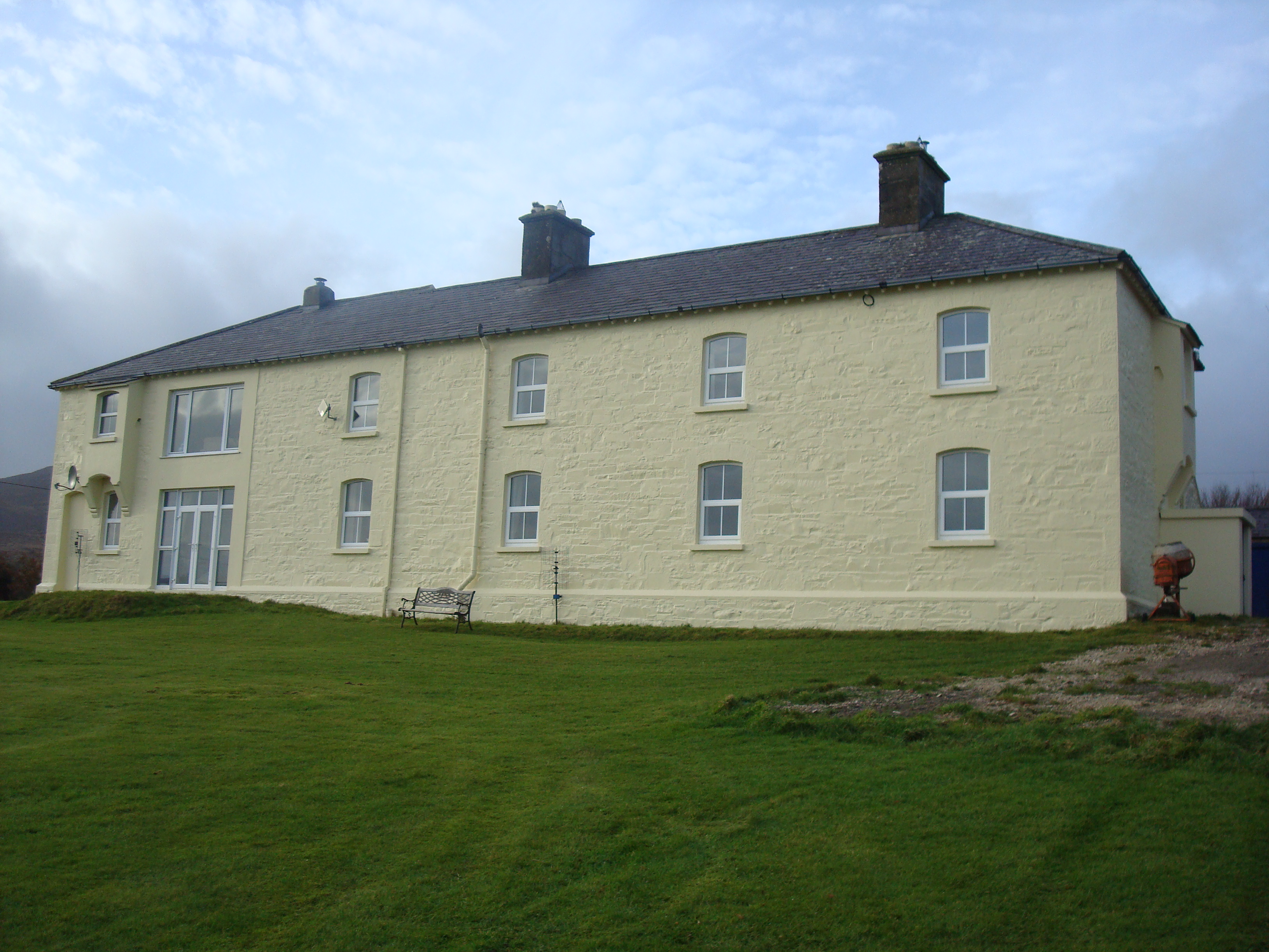 Knockalla Coastguard Stationcoastguard station · 710 yd
 Ballymastocker StrandViewpoint · 1390 yd
 Wild Atlantic Way:Ballymastocker StrandVisitor information · 1393 yd
 PortsalonOfficial bathing water · 1.5 mi
 Dunree HeadHeadland · 1.6 mi
 Dunree LighthouseLighthouse · 1.6 mi
 Castle Ross (Site of)Castle, unclassified · 2.2 mi
 Wych ElmWych Elm · 3.2 mi
 Old CastleCastle, unclassified · 3.5 mi
 HazelHazel · 3.8 mi