What is recorded here
In back garden of house facing onto Foyle View street in the town of Lifford, Donegal. A large irregular shaped sandstone boulder (H 0.3-0.43m; 0.4m x 0.65m) with quartz inclusion that has a deep, smooth-sided, circular-shaped hollow (top diam. 0.27m; base diam. 0.12m; D 0.2m) in its upper surface. According to the owner of the house, this bullaun stone was originally located in the townland of Mullanalamphry beside Tawnawully Bridge close to the shoreline of Lough Eske (DG094-014----).
Compiled by: Caimin O’Brien
Date of upload: 02 August 2012
A large irregular shaped sandstone boulder with a deep, smooth-sided, circular hollow, likely a bullaun stone, dating to the early medieval period, possibly used for ritual or practical purposes such as grinding sacred objects. Such stones are often associated with holy sites or Christian traditions, though they may have earlier prehistoric significance.
The monument record does not grant public access. Check the route and ask the landowner before entering private land.
- What survives
- Recorded monument
Places near here
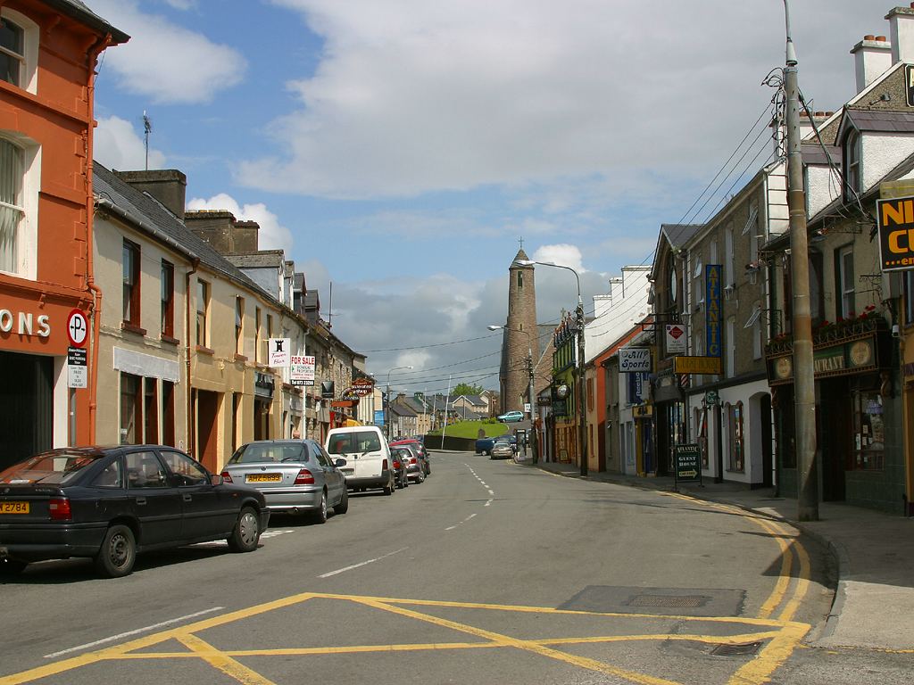 Town defences in LiffordTown defences · 35 yd
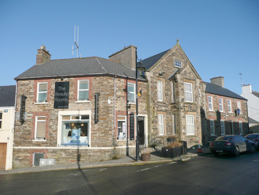 Lifford Garda Stationhouse, RIC barracks · 45 yd
 Lifford Youth Reachrectory/glebe/vicarage/curate's house · 74 yd
 BATTLE SITE: BATTLE OF THE FORDS, Central crossing, 1689 in Magirr; Town Parks OF StrabaneBATTLE SITE: BATTLE OF THE FORDS, Central crossing, 1689 · 185 yd
 Second World War MemorialMemorial · 1216 yd
 Abercorn FactoryHeritage attraction · 1231 yd
 CASTLE in Town Parks OF StrabaneCASTLE · 1319 yd
 Gray PrinterHeritage attraction · 1444 yd
 1916 Easter Rising Memorial StoneMemorial · 1509 yd
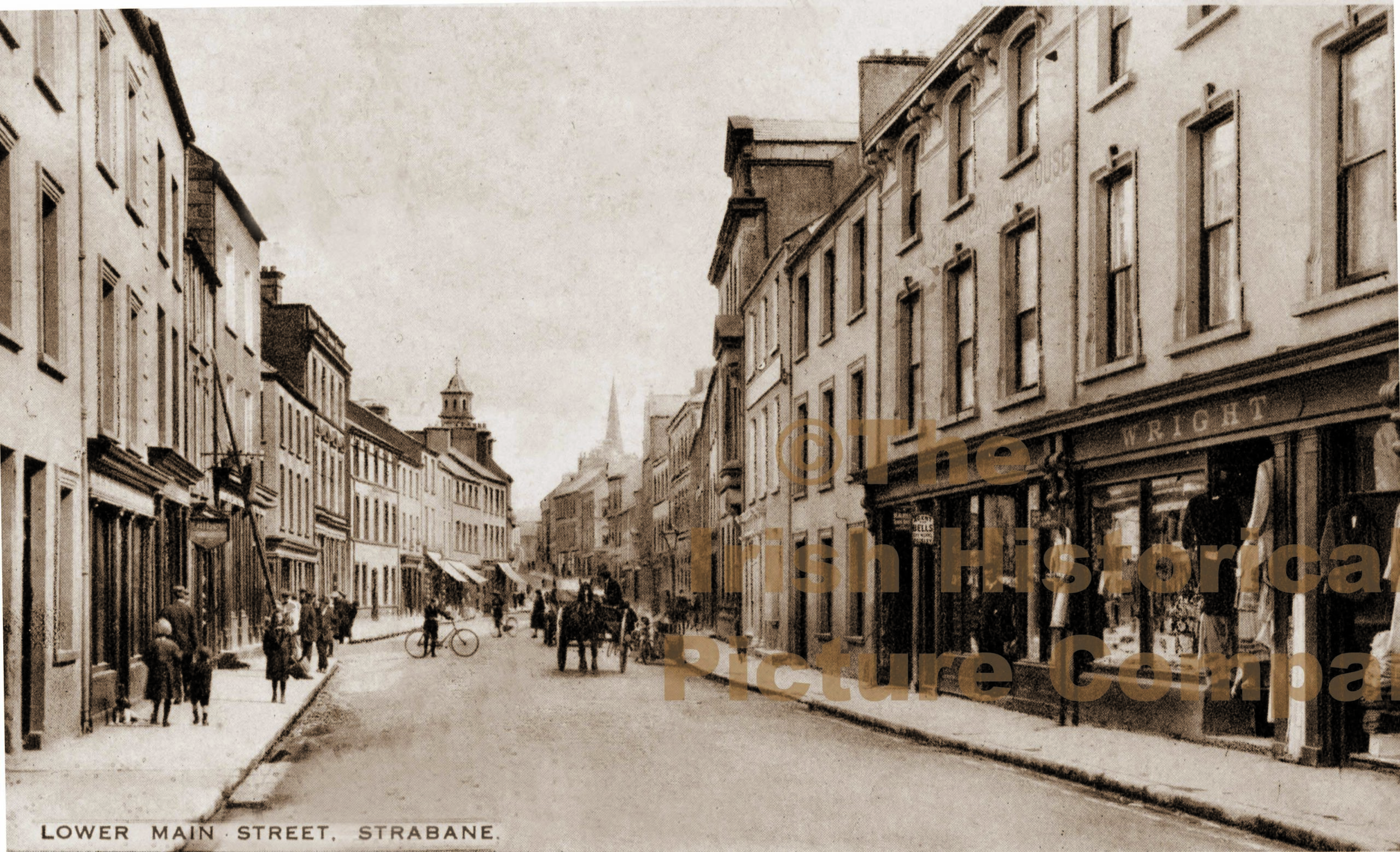 PLANTATION CASTLE (unlocated) in StrabanePLANTATION CASTLE (unlocated) · 1676 yd
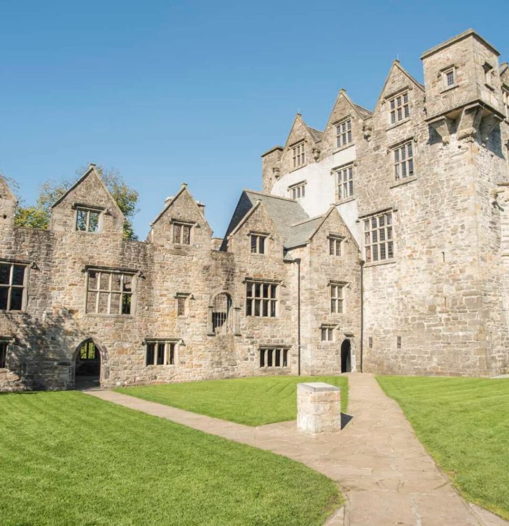 Ecclesiastical site in Edenmore (clonleigh North Ed)Ecclesiastical site · 1.0 mi
 Battle of Knockavoe BattlefieldBattlefield · 1.4 mi