What is recorded here
Four granite boulders; two behind the sawmill on the W bank of the Glendasan river N of the main monastic complex; one 19m upstream and one to the NE on the other side of the river. Bullaun stone lies 4.8m to NE of NE sidewall of sawmill, half-way down the riverbank slope of the Glendassan river and is difficult enough to spot under fairly dense whin / furze cover. Described by Healy (1972, 121) as a boulder measuirng 0.9m x 0.9m x 0.4m, 2 basins diam. 0.28m x depth 0.27m; diam. 0.23m x depth 0.14m. Behind sawmill. This stone has two basins cut in opposite faces, and broken through in the centre. The larger basin is partly broken away at one side, and in the bottom is a hard deposit of slag like material (from which a sample has been taken)'.
The above description is derived from the published 'Archaeological Inventory of County Wicklow' (Dublin: Stationery Office, 1997). In certain instances the entries have been revised and updated in the light of recent research.
Date of upload/revision: 19 November 2012
The monument record does not grant public access. Check the route and ask the landowner before entering private land.
- What survives
- Recorded monument
Places near here
 St Kevins KeeveHoly well · 83 yd
 Thornbush (Site of)Ritual site, holy tree/bush · 91 yd
 Glendalough Round TowerHeritage attraction · 175 yd
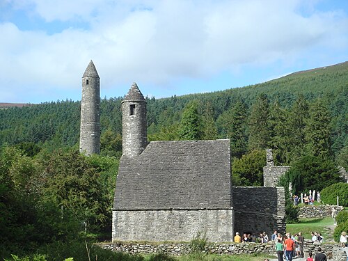 GlendaloughHeritage attraction · 227 yd
 The Priests Ch. or St. Kevins Library (in RuinsChurch · 243 yd
 Our Ladys Church (in ruins)Church · 244 yd
 Poulanass WaterfallWaterfall · 1758 yd
 Native Woodland Trust: Paddock Hill ReserveWood · 2.1 mi
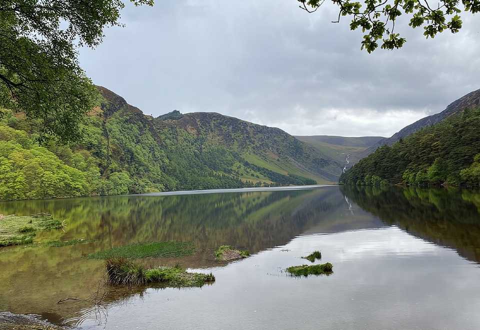 Glendalough CragsCliff · 2.4 mi
 CamaderryMountain / peak · 2.6 mi
 MullacorMountain / peak · 2.7 mi
 Shay Elliott memorialMemorial · 3.0 mi