What is recorded here
To SE of Moyne House in large flat pasture field. A roughly oval-shaped earthfast limestone outcrop (dims. 2.1m E-W; 1.15m N-S; H 0.3m) containing two large basins and a third rudimentary one on N perimeter. The E basin (dims. 0.41m E-W; 0.34m N-S; D 0.23m) is oval-shaped, while the W basin (diam. 0.4m; D 0.21m) is almost perfectly circular.
Compiled by: Caimin O'Brien
Date of upload: 17 December 2007
Likely dating to the Early Christian or Bronze Age period, bullaun stones were often used for ritual or practical purposes such as preparing holy water or metalworking. Local folklore may associate the stone with saintly activity or healing traditions.
The monument record does not grant public access. Check the route and ask the landowner before entering private land.
- What survives
- Recorded monument
Places near here
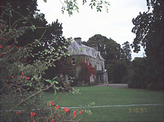 Moyne Househouse · 294 yd
 CastleCastle, unclassified · 896 yd
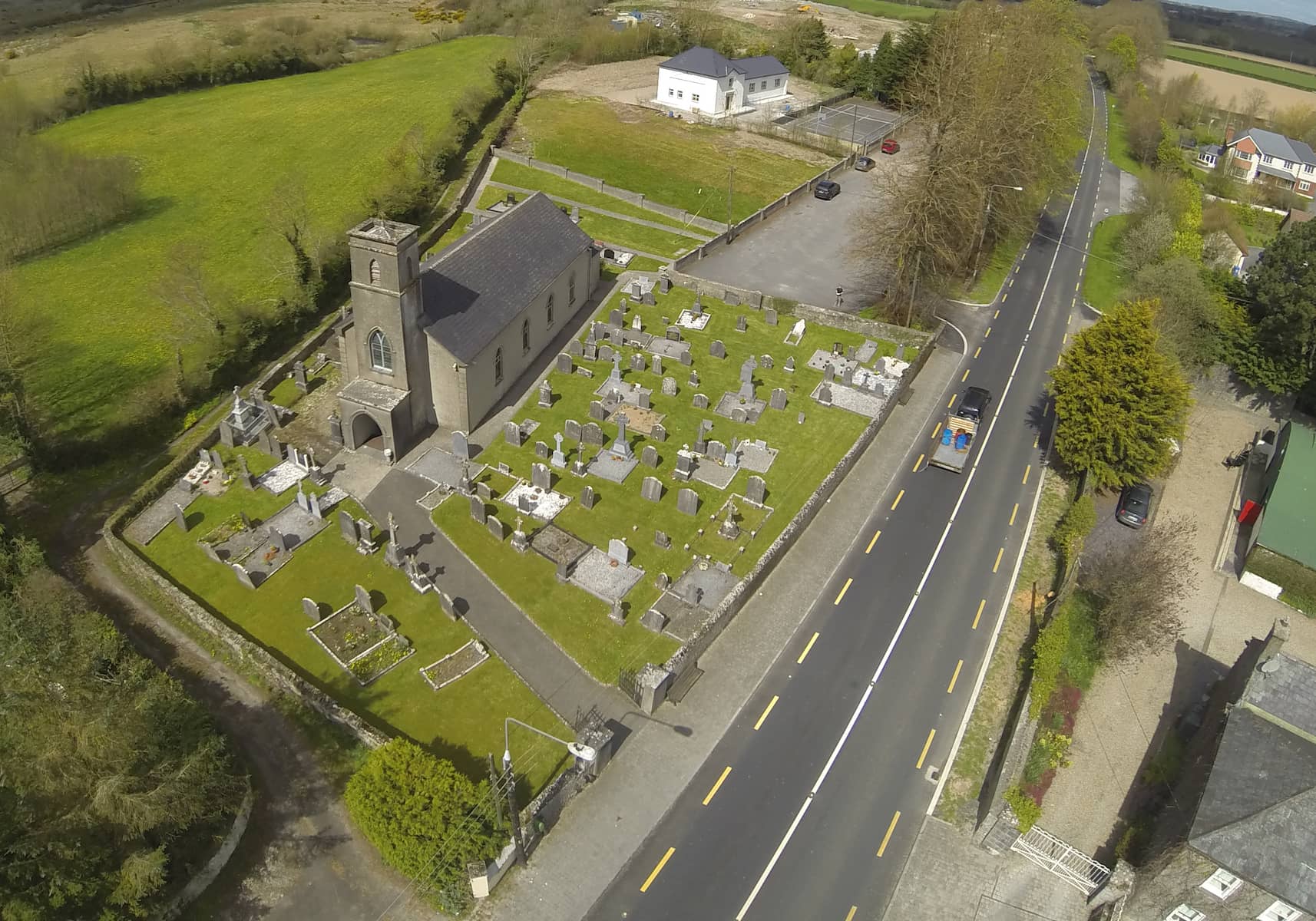 Church in DunmoreChurch · 1718 yd
 Cross in Castledurrow DemesneCross · 1.3 mi
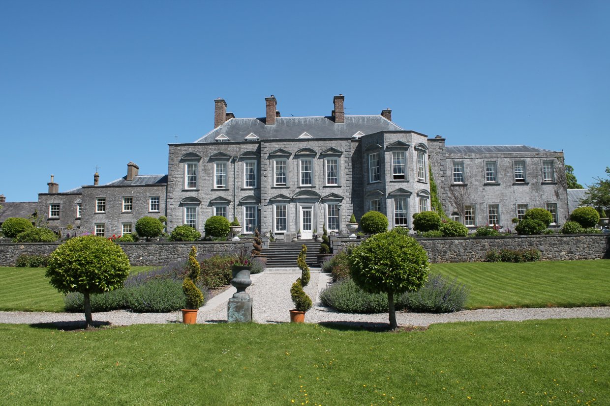 Ecclesiastical site in Castledurrow Demesne,durrow TownparksEcclesiastical site · 1.3 mi
 Durrow CastleCastle · 1.3 mi
 Birchfield PlantationForest · 2.0 mi
 Pedunculate OakPedunculate Oak · 2.1 mi
 Anker's IslandIsland · 4.2 mi
 1798 MonumentMemorial · 4.2 mi
 Knocknamoe HouseMemorial · 4.2 mi
 Abbeyleix Heritage CentreMuseum · 4.5 mi