What is recorded here
The official Northern Ireland record identifies this as BULLAUN STONE. Recorded period: UNCERTAIN. The official map point was placed at the centre of the recorded archaeological site from the source map reference.
Likely dating to the early Christian period, bullaun stones were often used for ritual or ecclesiastical purposes, such as anointing or as holy water basins. They are frequently associated with local folklore and saintly traditions.
The monument record does not grant public access. Check the route and ask the landowner before entering private land.
- What survives
- Recorded monument
Places near here
 ENCLOSURE in MagheramulkennyENCLOSURE · 79 yd
 Clonoe ambushterrorist attack · 527 yd
 ENCLOSURE in MeenaghENCLOSURE · 557 yd
 St. Michael's ChurchChurch · 1071 yd
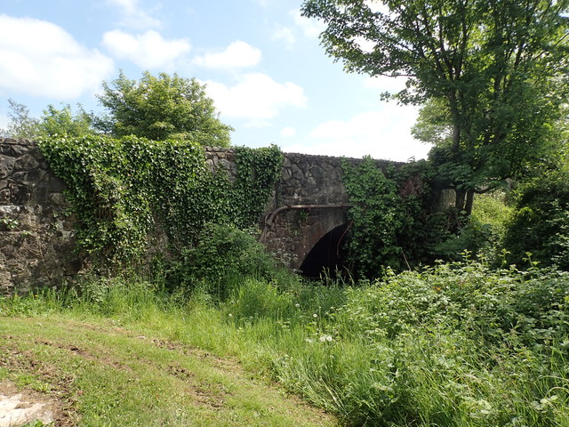 Coalisland CanalCoalisland Canal, IHR 05141 · 1.3 mi
 CrannogIslet · 2.3 mi
 Mountjoy CastleRuins · 2.5 mi
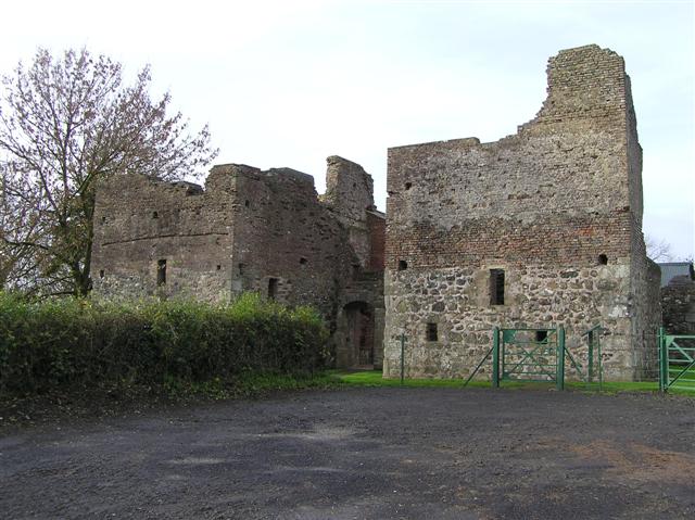 C17th CAMPAIGN FORT: MOUNTJOY CASTLE in Magheralamfield, MountjoyC17th CAMPAIGN FORT: MOUNTJOY CASTLE · 2.5 mi
 Drumcairne ForestWood · 2.5 mi
 Drumard PlantationWood · 2.6 mi
 Washing BayBay · 2.7 mi
 Millennium MilepostVisitor information · 4.1 mi