What is recorded here
The following description is derived from both the published 'Archaeological Inventory of County Louth' (Dublin: Stationery Office, 1986) and the 'Archaeological Survey of County Louth' (Dublin: Stationery Office, 1991). In certain instances the entries have been revised and updated in the light of recent research.
Date of upload/revision: 17 July 2007
In grounds of present church is said to be the site of an earlier church which is recorded as being ruinous in 1692. There are no visible remains. Bullaun stone (LH011-076002-) in SE corner of graveyard. (CLAJ 1942, 103)
A bullaun stone, likely dating to the early Christian period, often associated with ritual or ecclesiastical use, possibly linked to saintly traditions or healing practices.
This remains an important historical record, but the official description says the monument is no longer visible or has been destroyed. The monument record does not grant public access. Check the route and ask the landowner before entering private land.
- What survives
- No visible remains or recorded as destroyed
Places near here
 IndicatedGraveyard · 16 yd
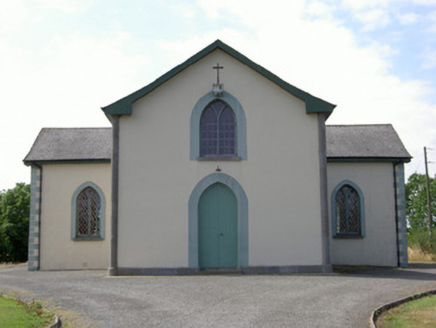 Enclosure in RathcassanEnclosure · 356 yd
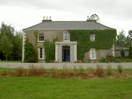 Kilincoole Househouse · 493 yd
 CastleCastle, tower house · 530 yd
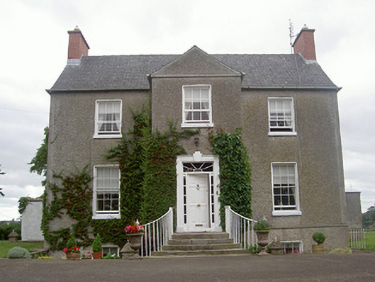 The Old Rectoryrectory/glebe/vicarage/curate's house · 561 yd
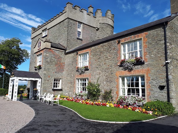 Darver CastleCastle · 1395 yd
 Photo GalleryHeritage attraction · 5.4 mi
 Dundalk CentralHeritage attraction · 5.4 mi
 Maid of ErinMemorial · 5.8 mi
 Bombing 1975Memorial · 5.8 mi
 Soldiers' PointHeadland · 7.4 mi
 Sky HillMountain / peak · 8.4 mi