What is recorded here
On the SW of the mound surrounding the well (DG058-02001-) is a small portable basin-stone (DG058-002002-) with a depression .23m in diameter and 0.09m deep. (Ó Muirgheasa No. 41)
The above description was derived from the 'Archaeological Survey of County Donegal. A description of the field antiquities of the County from the Mesolithic Period to the 17th century.' Compiled by: Brian Lacey with Eamon Cody, Claire Cotter, Judy Cuppage, Noel Dunne, Vincent Hurley, Celie O'Rahilly, Paul Walsh and Seán Ó Nualláin (Lifford: Donegal County Council, 1983). In certain instances the entries have been revised and updated.
Date of upload: 22 September 2008
Likely dating to the early Christian period, bullaun stones were often used for ritual purification or as holy water basins, associated with nearby wells and monastic sites. This example may have had a spiritual or healing function linked to the well in its local landscape.
The monument record does not grant public access. Check the route and ask the landowner before entering private land.
- What survives
- Recorded monument
Places near here
 St. Connells WellHoly well · 3 yd
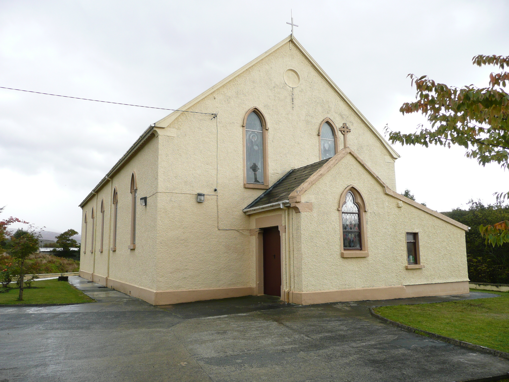 Saint Conal's Catholic Churchchurch/chapel · 1506 yd
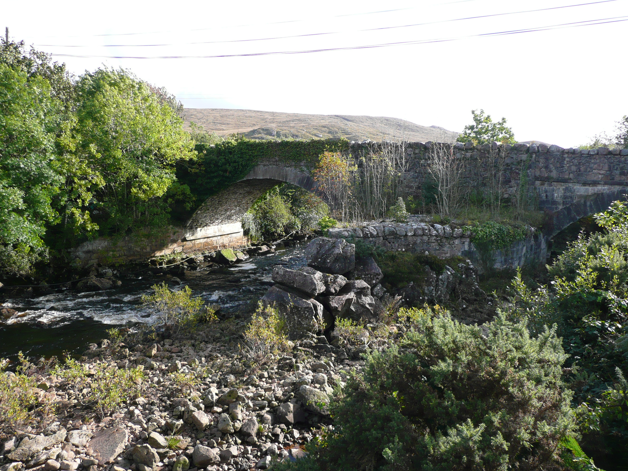 Doochary Bridgebridge · 1.0 mi
 Cairn, Coolvoy, DoocharyPublicly named cairn; age not proved by this picture · 1.1 mi
 Drumlaghdrid HillMountain / peak · 3.9 mi
 Meenachullion Nature ReserveNational nature reserve · 4.1 mi
 Aghla MountainMountain / peak · 4.6 mi
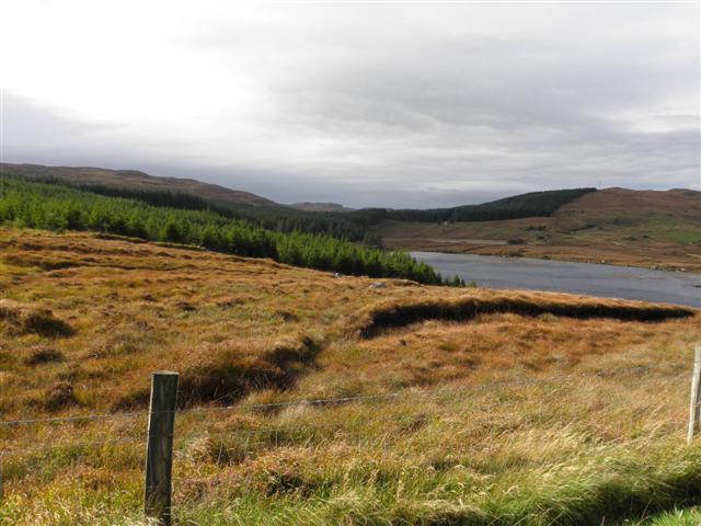 Derkmore Wood Nature ReserveNature reserve · 4.7 mi
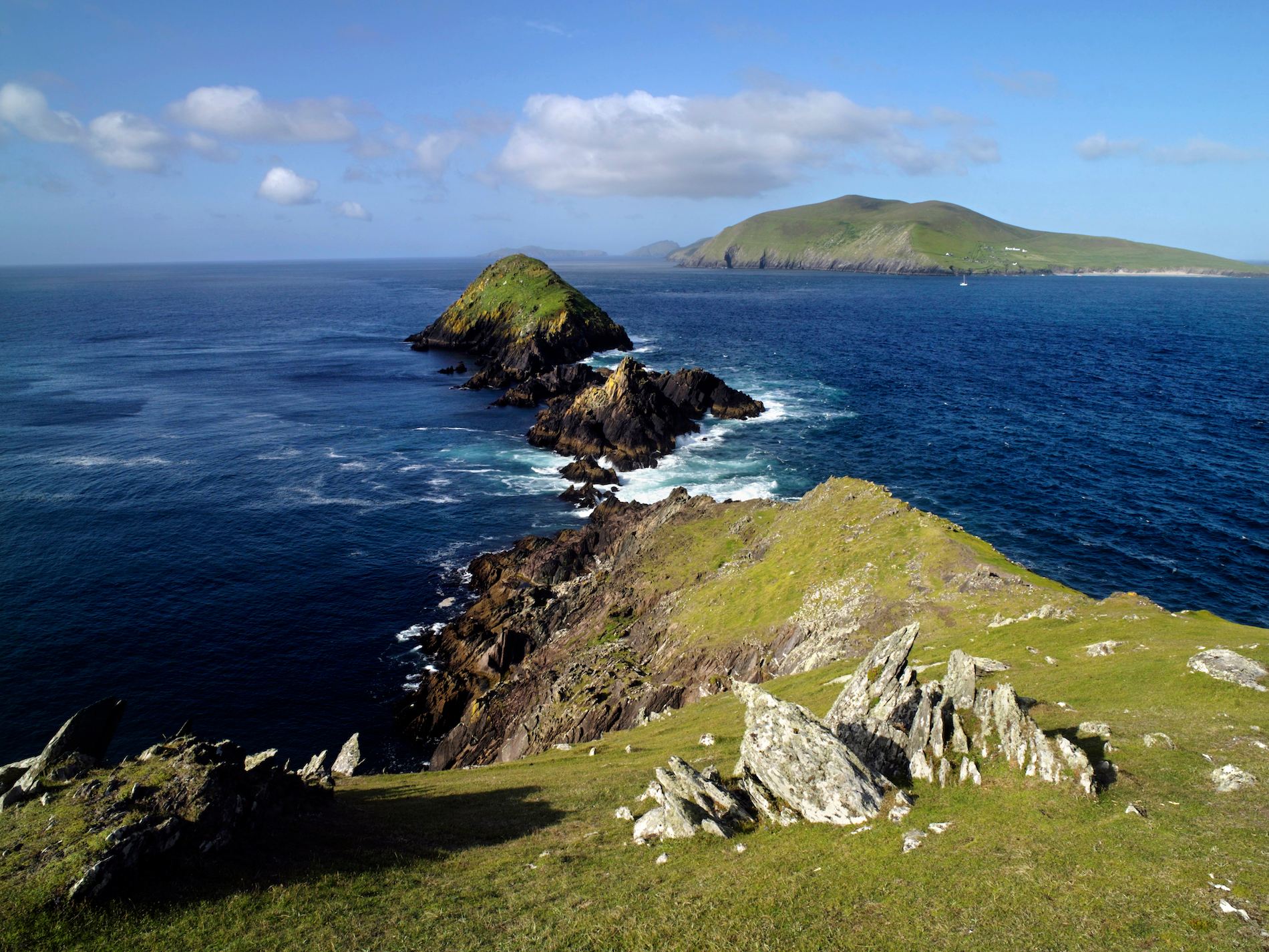 Brush IslandsIslet · 6.2 mi
 Crolly WaterfallWaterfall · 6.2 mi
 An tOileán DubhIslet · 6.3 mi
 DooeyOfficial bathing water · 6.8 mi