What is recorded here
Located on a gentle E-facing slope at the foothills of the Blackstairs Mountains. St. Doran's well (WX018-001003-) is marked by a yew tree on the 1839 ed. of the OS 6-inch map and there was also a bullaun stone or font at the well (Ua Dubhghaill 1925, 95). The well is not visible now at ground level. The church site (WX018-001001-) is c. 50m to the SSE within the graveyard (WX018-001002-).
Compiled by: Michael Moore
Date of upload: 22 May, 2012
The monument record does not grant public access. Check the route and ask the landowner before entering private land.
- What survives
- Recorded monument
Places near here
 St. Doran's WellArchaeological place · 4 yd
 Cross in Askinvillar UpperCross · 54 yd
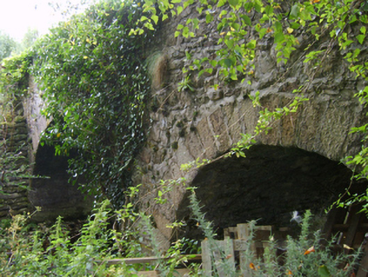 Askinvillar Bridge or Rigley's Bridgebridge · 1013 yd
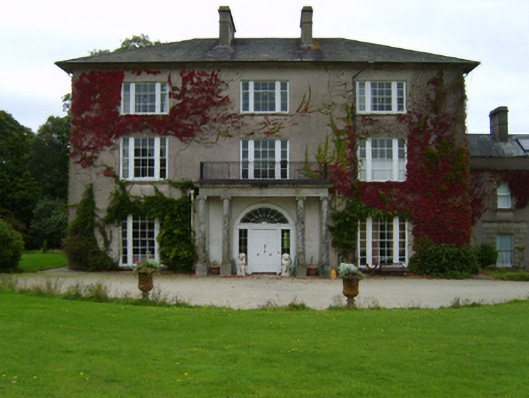 Woodbrook Housecountry house · 1.0 mi
 SlievebaunMountain / peak · 2.2 mi
 1798 MemorialMemorial · 2.2 mi
 KnockroeMountain / peak · 3.1 mi
 Coonogue WoodForest · 3.5 mi
 Killoughrum ForestForest · 4.4 mi
 Mount LeinsterMountain · 4.5 mi
 Irish Hangliding and Paragliding AssociationMemorial · 4.6 mi
 Ruin of a small castleRuins · 5.4 mi