What is recorded here
A boulder, 1.52m x .65m x .35m incorporated into the top of a road boundary wall has a depression .26m in diameter and 0.15m deep. It is situated on the N slope of Glencolumbkille valley in fair pasture.
The above description was derived from the 'Archaeological Survey of County Donegal. A description of the field antiquities of the County from the Mesolithic Period to the 17th century.' Compiled by: Brian Lacey with Eamon Cody, Claire Cotter, Judy Cuppage, Noel Dunne, Vincent Hurley, Celie O'Rahilly, Paul Walsh and Seán Ó Nualláin (Lifford: Donegal County Council, 1983). In certain instances the entries have been revised and updated.
Date of upload: 22 September 2008
The monument record does not grant public access. Check the route and ask the landowner before entering private land.
- What survives
- Recorded monument
Places near here
 Holy well in An ClochánHoly well · 114 yd
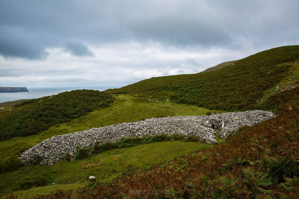
 Farranmacbride Court TombCourt tomb · 524 yd
 IndicatedChurch · 569 yd
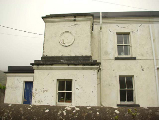 lighthouse keeper's houselighthouse keeper's house · 933 yd
 Glencolmcille Old GraveyardGraveyard · 966 yd
 Trá an GhleannaBeach / strand · 1691 yd
 Glencolmcille Folk VillageMuseum · 1.2 mi
 An Trá Bheag (Trá Bheag an Ghleanna)Beach / strand · 1.4 mi
 Rossan PointHeadland · 3.3 mi
 An Tor MórIslet · 3.3 mi
 CroaghstraleelMountain / peak · 4.1 mi
 Silver Strand ViewpointViewpoint · 4.4 mi