What is recorded here
On a steep slope on the NW shore of Lough Leane, 1.5m S of a rath (KE066-059001-). An irregularly shaped glacial erratic stone (diam. c. 1.7m E-W; H c. 0.7m) has a circular bowl-shaped hollow (diam. c. 0.35m; D 0.17m) on its upper surface, to the NE of the centre. Towards the centre of the stone are four thinly incised lines (L c. 0.3m), three extending NW-SE and the fourth E-W and crossing the SE end of one of the diagonal lines. Two crosses occur to the SW of the lines. These lines were recorded in the 1930s by Capt. D. B. O'Connell who suggested that they were the result of 'scores made from the sharpening of pointed metal weapons' (SMR file).
Compiled by: Elizabeth Byrne, Ursula Egan and Sheila Ronan, Archaeological Survey Unit, University College, Cork.
Date of upload: 31 January 2011
Likely dating to the Neolithic or Bronze Age, this standing stone may have had ritual or ceremonial significance, with the bowl-shaped hollow possibly used for offerings or symbolic purposes. Its location near a rath suggests a long-standing cultural landscape with possible links to later settlement.
The monument record does not grant public access. Check the route and ask the landowner before entering private land.
- What survives
- Recorded monument
Places near here
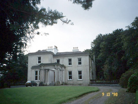 Lakeviewhouse · 451 yd
 Killalee Church (in Ruins)Church · 1131 yd
 Fulacht FianFulacht fia · 1219 yd
 Enclosure in Dromin (magunihy By., Lahard Ed)Enclosure · 1604 yd
 Castle (in Ruins)Castle, tower house · 1.4 mi
 Japanese pagoda treeJapanese pagoda tree · 1.4 mi
 Rabbit or Brown IslandIslet · 1.4 mi
 CastleCastle, tower house · 1.6 mi
 Dunloe Ogham StonesHeritage attraction · 1.7 mi
 O'Sullivan's CascadeWaterfall · 1.9 mi
 Aghadoe Early Medieval Ecclesiastical SiteHeritage attraction · 2.0 mi
 InnisfallenIsland · 2.1 mi