What is recorded here
Marked only on the 1940 ed. of the OS 6-inch map, and situated on a slight W-facing slope where it was originally set in the ground (OSFM, 1940). This is a subcircular granite slab (dims. 1.75m x 1.85m; T 0.3m) with three basins (diams 0.3-0.4m; D 0.1-0.16m). It has been moved to a point on the E side of a road bank just S of a field gate.
The above description is derived from the published 'Archaeological Inventory of County Wexford' (Dublin: Stationery Office, 1996). In certain instances the entries have been revised and updated in the light of recent research.
Compiled by: Michael Moore
Date of upload/revision: 27 January, 2013
Likely dating to the Neolithic or Bronze Age, the Bullan standing stone may have served a ritual or territorial function. No specific folklore or detailed use is recorded for this site.
The monument record does not grant public access. Check the route and ask the landowner before entering private land.
- What survives
- Recorded monument
Places near here
 Enclosure in DunmainEnclosure · 1320 yd
 Mass Stone (Site of)Mass-rock · 1446 yd
 bridgebridge · 1.1 mi
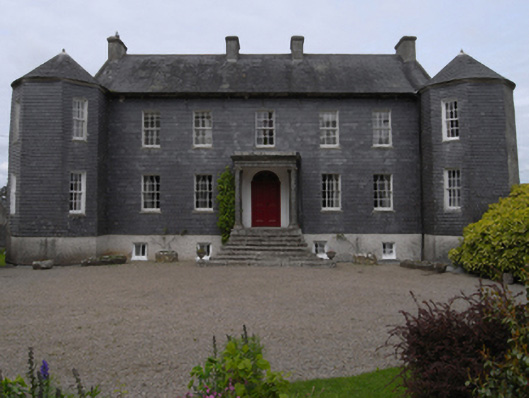 Dunmain Housefarm house · 1.1 mi
 Ash CollectionVisitor information · 1.2 mi
 Castle (in ruins)Castle, unclassified · 1.3 mi
 Alder CollectionVisitor information · 1.3 mi
 Rathumney Castle (in ruins)Castle, hall-house · 1.4 mi
 The John F. Kennedy ArboretumForest · 1.5 mi
 Silver WattleSilver Wattle · 1.6 mi
 John F. Kennedy Arboretum MuseumMuseum · 1.7 mi
 Garden of RemembranceMemorial · 1.7 mi