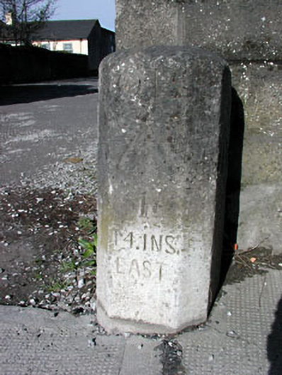
What is recorded here
Pair of octagonal limestone trigonometrical markers, c.1835. The northern marker has a carved easting co-ordinate and benchmarks. The southern marker has a carved northing co-ordinate and benchmarks and has been incorporated into a later boundary wall.
This rare pair of co-ordinate markers is representative of the early work of the Ordnance Survey in Ireland in the first half of the nineteenth century. The ground on which the markers are located was once the site of the Royal Irish Constabulary Barracks, built 1835.
This does not grant access. Most recorded buildings are privately owned; view them only from public ground unless the owner allows entry.
Places near here
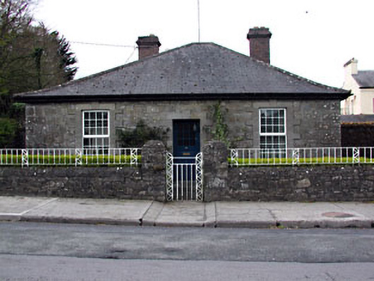 Wellington Lodgehouse · 17 yd
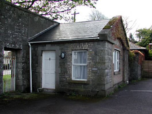 gate lodgegate lodge · 43 yd
 Wellington MonumentMonument · 199 yd
 Enclosure in Manorland (2nd Division)Enclosure · 255 yd
 Trim CastleCastle, Anglo-Norman masonry castle · 556 yd
 CastleCastle, hall-house · 618 yd
 Saints IslandForest · 3.5 mi
 Small-leaved ElmSmall-leaved Elm · 4.1 mi
 Kilgar GardensHeritage attraction · 9.0 mi
 Old Bog Road made famous by Teresa Bryton 1868-1943Memorial · 9.0 mi
 MullaghMountain / peak · 9.2 mi
 Cloncurry GraveyardHeritage attraction · 9.3 mi
Other information
Photo: National Inventory of Architectural Heritage · Website use allowed for educational or private purposes with source credit