What is recorded here
Within the rectangular ward of Ballintober Castle (RO027-048002-). Resistivity, gradiometry and ground penetrating radar surveys (08R262) conducted inside and outside the castle by Target Archaeological Geophysics on behalf of the Ballintober Community Group and funded by the Heritage Council during 2008 and 2009 produced exciting results, which are largely at a depth of 0.6-1.6m. There is weaker evidence of a building (dims c. 15m E-W; c. 9m N-S) inside the NW angle under a slight surface platform. (Nicholls 2008, 2009)
Compiled by: Michael Moore.
Date of upload: 30th August, 2010.
The monument record does not grant public access. Check the route and ask the landowner before entering private land.
- What survives
- Recorded monument
Places near here
 CastleCastle, Anglo-Norman masonry castle · 28 yd
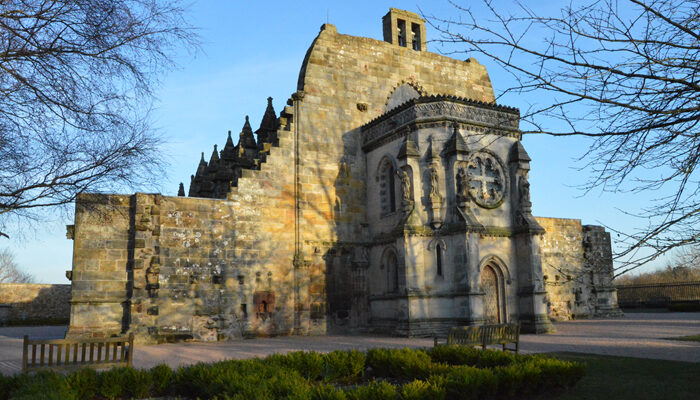 Chapel in RosmeenChapel · 30 yd
 Enclosure in Ballintober,rosmeenEnclosure · 69 yd
 Remains of Stone CrossCross, Market cross · 215 yd
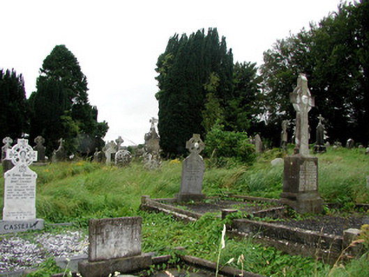 graveyard/cemeterygraveyard/cemetery · 325 yd
 Silver IslandIslet · 3.5 mi
 Workhouse MemorialMemorial · 3.8 mi
 Castlereagh HouseCastle, unclassified · 4.4 mi
 HawthornHawthorn · 4.6 mi
 Site of Killomaine Grave YardArchaeological place · 4.9 mi
 Clonalis HouseMuseum · 5.7 mi
 Rook HillMountain / peak · 6.6 mi