What is recorded here
Described by Herity (1995, 92) as follows: ‘Immediately west of it are the rectangular foundations of what may be a dwelling of that period, 5.77m east-west by 3-3.20m north-south, the entrance half-way along the south side. The remains of a small corn-drying kiln are incorporated in the west wall (Walsh 1983, 61). Immediately south of its south-west comer is an almost square building 3.65m by roughly 2.40m internally, very dilapidated.’
Compiled by: Paul Walsh
Date of upload: 2 February 2014
Image DG089-018008-_01 (taken 21 July 1983): a view looking north of the western component of this stucture with the possible kiln feature (DG089-018009-) marked by a ranging rod.
The monument record does not grant public access. Check the route and ask the landowner before entering private land.
- What survives
- Recorded monument
Places near here
 Church in Reachlainn Uí BhirnChurch · 5 yd
 Rathlin O'Birne IslandIslet · 163 yd
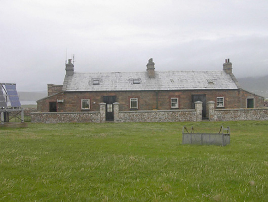 Teach Solais an Reachlainn Uí Bhirnoutbuilding · 459 yd
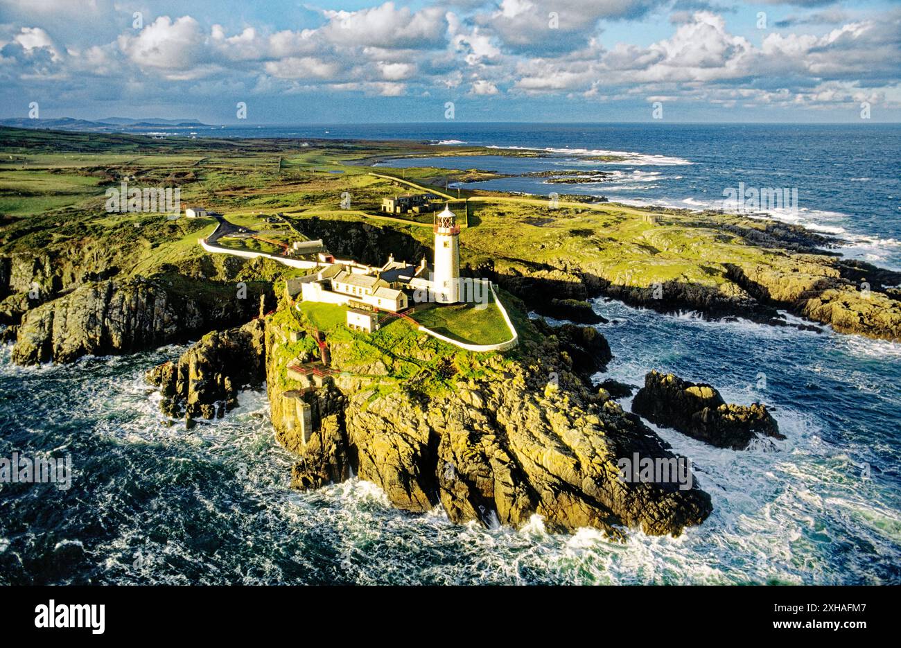 An EibhearIslet · 568 yd
 Trabane Bay Coastal Promontory FortPromontory fort, coastal · 1.3 mi
 Malin Beg Signal TowerSignal tower · 1.4 mi
 Silver Strand ViewpointViewpoint · 1.9 mi
 An Trá BhánBeach / strand · 2.0 mi
 Rossan PointHeadland · 3.1 mi
 An Trá Bheag (Trá Bheag an Ghleanna)Beach / strand · 4.4 mi
 Glencolmcille Folk VillageMuseum · 4.5 mi
 Slieve LeagueMountain / peak · 4.8 mi