What is recorded here
On top of summit of a broad E-W orientated ridge in undulating pasture. A NW-SE orientated road lies 8m to the S of the hut site. Ringfort (TS058-029----) with a slight roughly rectangular depression (dims. 4m E-W; 2m N-S; D 0.3m) of uncertain significance is located immediately within the upper break of slope of the scarped edge at N.
Compiled by: Jean Farrelly
Date of upload: 26 August 2011
The monument record does not grant public access. Check the route and ask the landowner before entering private land.
- What survives
- Recorded monument
Places near here
 RathduffCastle, ringwork · 13 yd
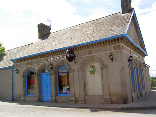 D. Quinlanpublic house · 299 yd
 Site of Cullen CastleCastle, unclassified · 362 yd
 Patricks WellHoly well · 416 yd
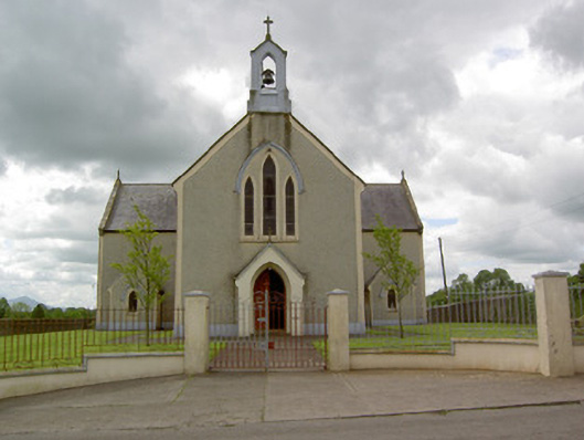 Saint Patrick's Catholic Churchchurch/chapel · 477 yd
 Enclosure in Milltown (cullen Par.)Enclosure · 1300 yd
 Oola HillMountain / peak · 1.6 mi
 ToberagaddySpring · 4.4 mi
 KnockseefinMountain / peak · 5.2 mi
 St Patrick's WellSpring · 7.9 mi
 Flat cemetery in Knockainy WestFlat cemetery · 8.2 mi
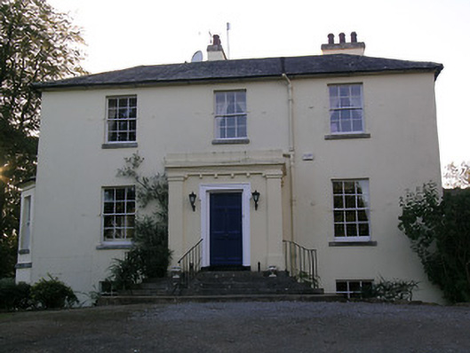 Beechwood Houserectory/glebe/vicarage/curate's house · 521 yd