What is recorded here
Indicated on the Down Survey (1655-6) barony map of ‘The Liberties of the Citty of Kilkenny’ as two stylised buildings, in a townland annotated as, 'New Park church land' and on the parish map of ‘The Parrish of St. Johns in the Liberties of Kilkenny’ two buildings, one definitely a house, are indicated (Hibernia Regnum, courtesy of Trinity College Dublin). The 17th-century townland accords well with Newpark Upper townland. The precise location of these 17th-century buildings within the townland is unknown.
See attached:
KK019-060----_01 extract from the Down Survey (1655-6) barony map of ‘The Liberties of the Citty of Kilkenny’
KK019-060----_02 extract from the Down Survey (1655-6) parish map of ‘The Parrish of St. Johns in the Liberties of Kilkenny’
Compiled by: Jean Farrelly
Date of upload: 12 October 2020
The monument record does not grant public access. Check the route and ask the landowner before entering private land.
- What survives
- Recorded monument
Places near here
 Enclosure in GarrincreenEnclosure · 753 yd
 Church (in ruins)Church · 794 yd
 Newpark Marsh ParkNature reserve · 922 yd
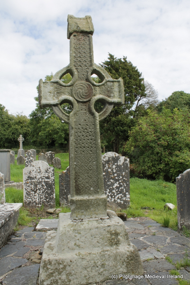 CrossCross, High cross (present location) · 953 yd
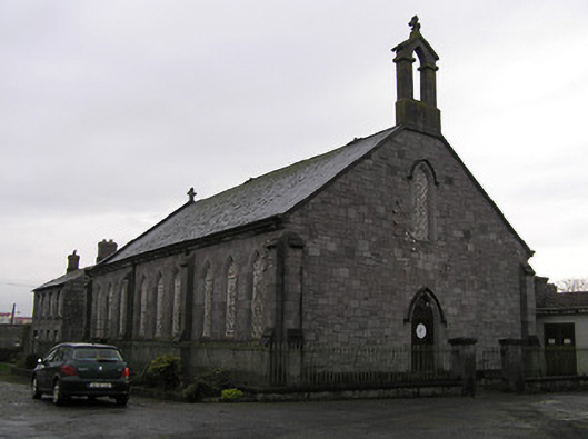 James Stephens Barrackschurch/chapel · 1004 yd
 Jurassic NewparkHeritage attraction · 1056 yd
 Kilkenny AFC & Kilkenny & District Soccer LeagueMemorial · 1145 yd
 Stephens Barracks MuseumMuseum · 1145 yd
 KilkennyVisitor information · 1269 yd
 St. Maul's GraveyardMemorial · 1495 yd
 Kilkenny County Council Car ParkVisitor information · 1521 yd
 Black PoplarBlack Poplar · 1670 yd