What is recorded here
The ward of the castle provided space for various buildings or structures, dating largely to the fourteenth and fifteenth centuries, but a precise date cannot be provided in most instances. An earthen bank or external scarp (H c. 3m at W) was erected extending S from the Trim gate, probably in the late thirteenth or early fourteenth century (Hayden 2011, 216), and two medieval buildings were erected in the tail of this bank, on the E or inner side. This rectangular building (No. 2) (ext. dims 6.8m N-S; c. 6m E-W) was added to one further S (ME036-048090-) and its clay-bonded walls (Wth 0.85m) were almost completely robbed out. It had a well-laid paved floor in the S half with a straight N edge, a post-hole at the centre of the paving and a crude entrance to a N-S path in the E wall. A more diffuse paving was in the NW angle and ash-layers containing mid-seventeenth century clay pipes occupied the NE angle of the house. It is not known if the building is medieval and continued to be used until the seventeenth century or dates from the latter era. It was not conserved. (Hayden 2011, 262-69)
See the attached view of the building under excavation (Right)
Compiled by: Michael Moore
Date of upload: 11 July, 2019
The monument record does not grant public access. Check the route and ask the landowner before entering private land.
- What survives
- Recorded monument
Places near here
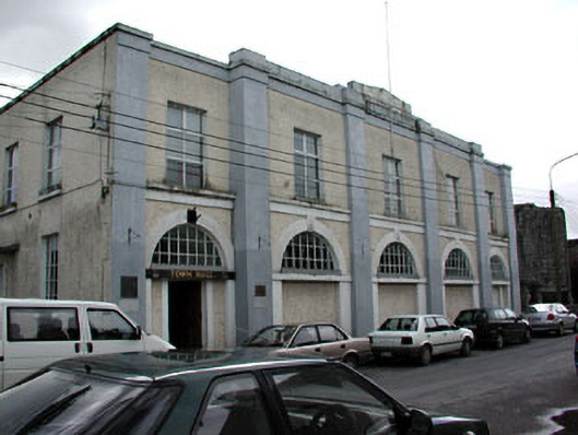 Trim Town Halltown/county hall · 42 yd
 CastleCastle, hall-house · 52 yd
 Fortification in Manorland (1st Division)Fortification · 54 yd
 Trim CastleCastle, Anglo-Norman masonry castle · 55 yd
 Trim Courthousecourt house · 116 yd
 Wellington MonumentMonument · 390 yd
 Saints IslandForest · 3.7 mi
 Small-leaved ElmSmall-leaved Elm · 3.8 mi
 Tara Open StudioGallery · 7.6 mi
 Kilgar GardensHeritage attraction · 9.2 mi
 Old Bog Road made famous by Teresa Bryton 1868-1943Memorial · 9.3 mi
 MullaghMountain / peak · 9.3 mi