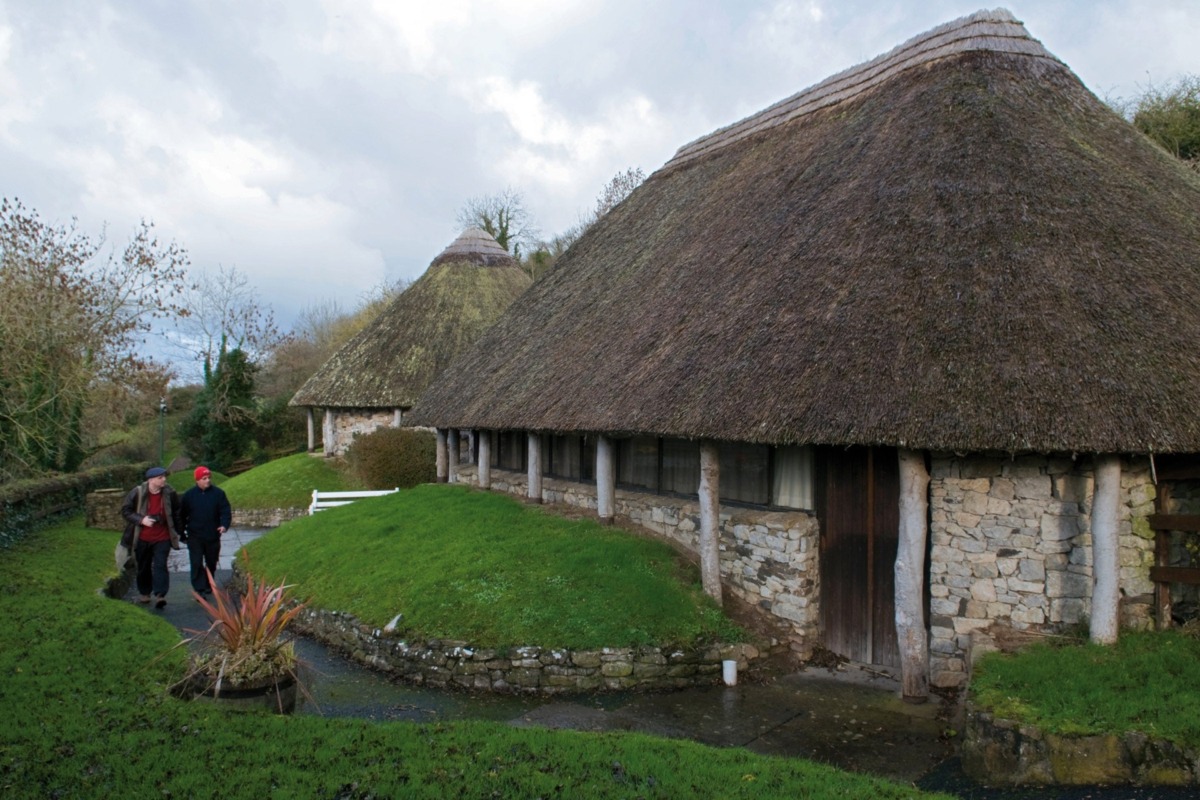
What is recorded here
In pasture on S facing slope of Knockroe Hill at the NE tip of Lough Gur, which lies 600m to W. Stone circle (LI032-060----) lies 35m to S and (LI032-058----) 50m to E. Not depicted on any OSi maps. Identified by Geophysical survey (fluxgate gradiometer survey) in 2008 as Feature 5 in Area 3 and described as follows; ‘a circular anomaly [5] recorded just to the southeast of [2]. It registers as a discontinuous, enhanced magnetic annulus, approximately 11m in diameter, defined by a series of ditch/pit-type responses. Although this feature lacks sufficient clarity to allow for precise interpretation, it could well represent the remains of a circular building, possibly defined by a slot-trench and/or post-pits for timber uprights. The significance of a broad, arcuate anomaly [6] in the quadrant of the survey area is less certain, however, its close proximity to [I] raises the possibility that it may be natural, rather than archaeological, in origin. The same may be true of many of the discrete, pit-type anomalies recorded across the survey area, although of course the possibility of an archaeological source for these cannot be excluded’ (Cleary 2008, 43). No surface remains visible on OSi orthophoto taken between 2005-12 or on Google Earth orthoimages.
See attached location maps of Geophysical Survey taken from Cleary 2008
Compiled by: Martin Fitzpatrick
Date of upload: 2 April 2021
The monument record does not grant public access. Check the route and ask the landowner before entering private land.
- What survives
- Recorded monument
Places near here
 Lough Gur OArchaeological place · 73 yd
 Kistvaen FieldFlat cemetery · 129 yd
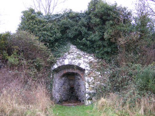 kilnkiln · 675 yd
 Lough Gur Heritage CentreVisitor information · 688 yd
 Loughgur Farmhouse · 719 yd
 Pedunculate OakPedunculate Oak · 790 yd
 The SpectaclesVisitor information · 792 yd
 Black Castle (in ruins)Castle, tower house · 1237 yd
 OultinedBawn · 1521 yd
 Grange Stone CircleArchaeological place · 1.4 mi
 Lough GurVisitor information · 1.4 mi
 KnockainyMountain / peak · 3.3 mi
Other information
Photo: Credit not shown in the picture search · Rights wording not checked; contact us if this picture should be removed