What is recorded here
The official Northern Ireland record identifies this as Building. Recorded period: UNCERTAIN. The official map point was placed at the centre of the recorded archaeological site from the source map reference.
The monument record does not grant public access. Check the route and ask the landowner before entering private land.
- What survives
- Recorded monument
Places near here
 Monaghan BankMountain / peak · 1.6 mi
 Horse IslandIsland · 1.8 mi
 CHURCH (unlocated) in GranshaCHURCH (unlocated) · 1.9 mi
 CHURCH (unlocated) in KircubbinCHURCH (unlocated) · 2.1 mi
 Conly IslandIslet · 2.4 mi
 TOWER-HOUSE: RINGHADDY CASTLE in RinghaddyTOWER-HOUSE: RINGHADDY CASTLE · 2.6 mi
 AP Cropmark- Possible small enclosure in BallygarvanAP Cropmark- Possible small enclosure · 2.7 mi
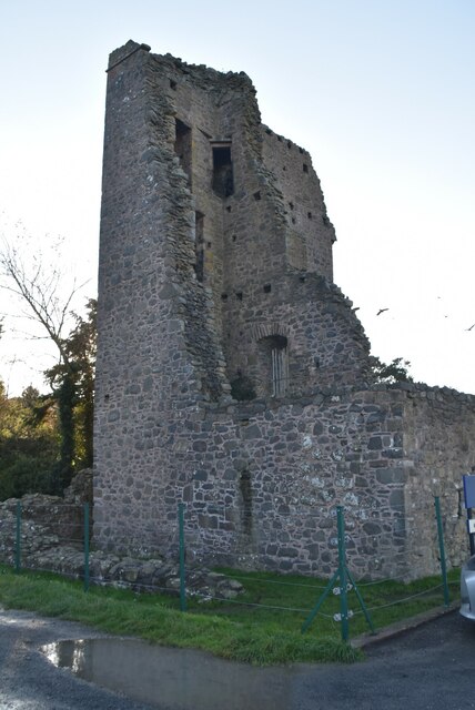 Sketrick Castle (ruin)Castle · 2.8 mi
 The Echlinville DistilleryHeritage attraction · 2.8 mi
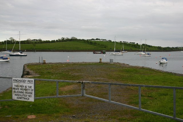 STONE QUAY in RinghaddySTONE QUAY · 2.9 mi
 The Round TowerVisitor information · 3.0 mi
 Island Reagh, Strangford LoughWalking route · 3.2 mi