What is recorded here
The OS Letters (O'Flanagan 1928, 16) describe two buildings at in the S half of 'Kilmurry Green', one of which is possibly the church (WI008-013----). They are described as follows: 'the one on the south running from N.W. to S.E. 42 feet long and 12 broad; four stones on the South E. mark the foundation of the gable. Immediately north of this last site may be seen another running N & S, 30 feet long by 12 wide, two stones pointing out its northern gable.' (iO'Flanagan 1928, 16). One structure was noted when inspected in 1990 (SMR file).
Compiled by: Claire Breen
Date of upload: 05 February 2013
The monument record does not grant public access. Check the route and ask the landowner before entering private land.
- What survives
- Recorded monument
Places near here
 Ecclesiastical enclosure in Kilmurry North (rathdown By.)Ecclesiastical enclosure · 1 yd
 Church in Kilmurry South (rathdown By.)Church · 1380 yd
 The Sugar Loaf WayWalking route · 1632 yd
 Great Sugar LoafMountain · 1730 yd
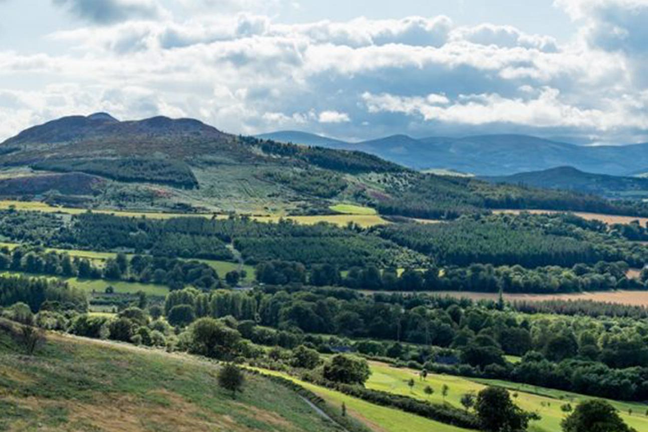 Belmont WayWalking route · 1741 yd
 Great SugarloafMountain / peak · 1757 yd
 Little Sugar LoafMountain / peak · 1760 yd
 Johnny Fox's MemorialMemorial · 1.0 mi
 Kindlestown WoodForest · 1.0 mi
 The OctagonRuins · 1.1 mi
 Grave YardGraveyard · 1.1 mi
 Glen of the DownsNature reserve · 1.2 mi