What is recorded here
In pasture, on a S-facing slope, within NE area of enclosure (TS071-040----). Identified during field survey. Roughly rectangular area (dims. 13m N-S; 4m E-W) defined by sod-covered stone wall (Wth 0.8; int. H 0.25m; ext. H 0.4m), collapsed in places (Wth 1.3m). Structure aligned long-axis N-S and is open to S. Large erratic boulder forms terminus of E side and large pile of loose stones exists adjacent to E. Enclosure (TS070-014----) located 300m to WSW.
Compiled by: Jean Farrelly
Date of revised upload: 30 September 2014
The monument record does not grant public access. Check the route and ask the landowner before entering private land.
- What survives
- Recorded monument
Places near here
 IndicatedEnclosure · 20 yd
 Grangemockler Church (in ruins)Church · 826 yd
 The SpoutMemorial · 941 yd
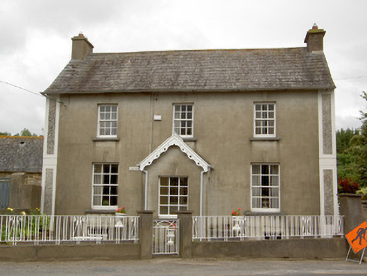 Grey Gableshouse · 1000 yd
 St. Nicholas WellHoly well · 1.7 mi
 Killamery High CrossVisitor information · 1.7 mi
 KillameryVisitor information · 1.8 mi
 Castle (in ruins)Castle, unclassified · 2.1 mi
 Castle JohnCastle, tower house · 2.8 mi
 European ashEuropean ash · 2.8 mi
 Silver FirSilver Fir · 2.9 mi
 James (Jim) McKennaMemorial · 3.3 mi