What is recorded here
Indicated on the Down Survey (1655-6) barony map of ‘The Liberties of the Citty of Kilkenny’ as a building without a chimney, it is the more southerly of two buildings depicted on this map within an irregular kink along the W edge of 'Garykrine' townland (Hibernia Regnum, courtesy of Trinity College Dublin). This 'kink' is still preserved in the modern townland of Garrincreen. Garrincreen housing estate now occupies this area. The other building (KK019-061001-) is depicted as a house with a chimney. The owner is listed in the terrier accompanying the Down Survey parish map of St John's parish as William Shea Irish Papist (ibid.). The precise location of these 17th-century buildings within this kink of the townland is unknown.
See attached:
KK019-061001-_01 extract from the Down Survey (1655-6) barony map of ‘The Liberties of the Citty of Kilkenny’
Compiled by: Jean Farrelly
Date of upload: 12 October 2020
The monument record does not grant public access. Check the route and ask the landowner before entering private land.
- What survives
- Recorded monument
Places near here
 Enclosure in GarrincreenEnclosure · 158 yd
 Church (in ruins)Church · 356 yd
 Hebron Housegates/railings/walls · 445 yd
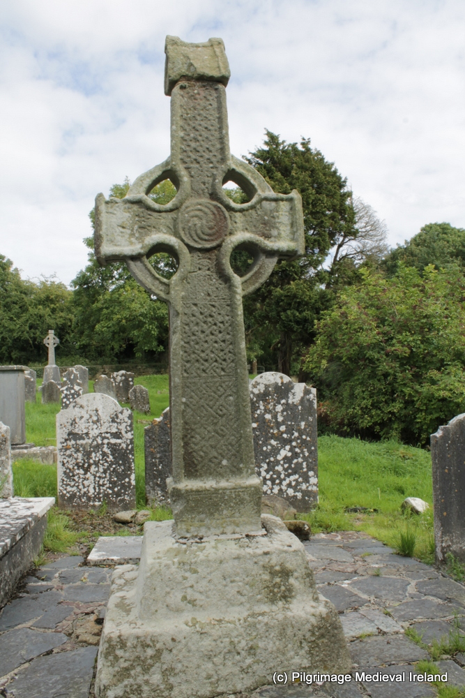 CrossCross, High cross (present location) · 744 yd
 J. TobinMemorial · 1248 yd
 Newpark Marsh ParkNature reserve · 1518 yd
 KilkennyVisitor information · 1601 yd
 Jurassic NewparkHeritage attraction · 1651 yd
 Graveyard in Gardens (kilkenny City By., St. John's Par.)Graveyard · 1655 yd
 Stephens Barracks MuseumMuseum · 1684 yd
 Saint Molagga's WellSpring · 1715 yd
 Kilkenny County Council Car ParkVisitor information · 1.0 mi