What is recorded here
John Taylor's Environ's of Dublin (1816) map shows 'Ruins' located about one third length of Highfield Road going east from Terenure Cross on the North side of the road.
The monument record does not grant public access. Check the route and ask the landowner before entering private land.
- What survives
- Recorded monument
Places near here
 RoadRoad, road/trackway · 1 yd
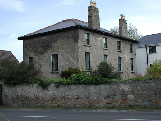 The Mill Househouse · 140 yd
 WhitecliffVisitor information · 878 yd
 Old Rathfarnham Castle Gate HouseRuins · 885 yd
 Enclosure in ButterfieldEnclosure · 918 yd
 Rathfarnham CastleHouse, fortified house · 930 yd
 ObeliskMemorial · 1138 yd
 G. Yd.Graveyard · 1152 yd
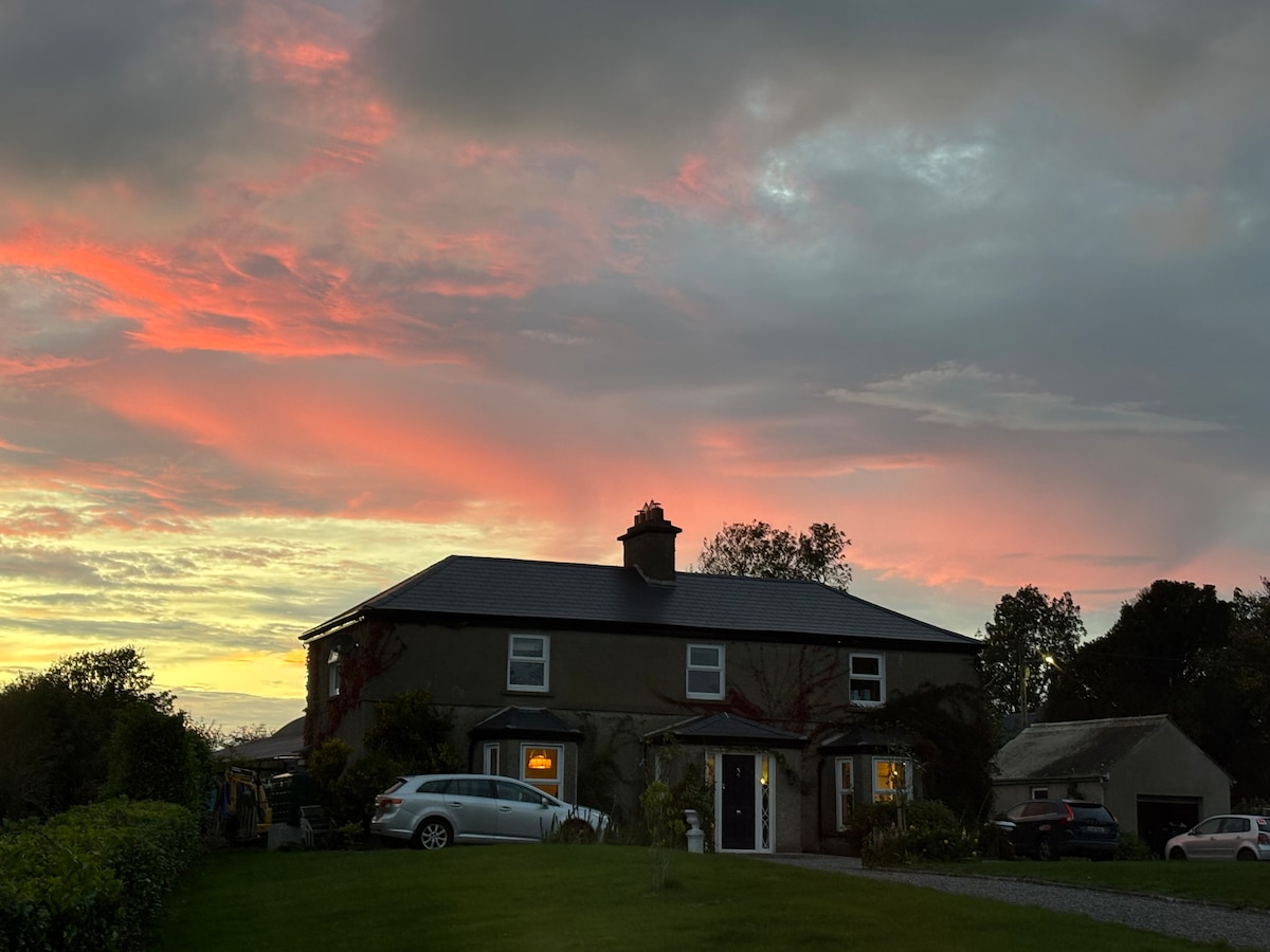 Nature RoomHeritage attraction · 1163 yd
 Austin Clarke BridgeMemorial · 1612 yd
 European YewEuropean Yew · 1.2 mi
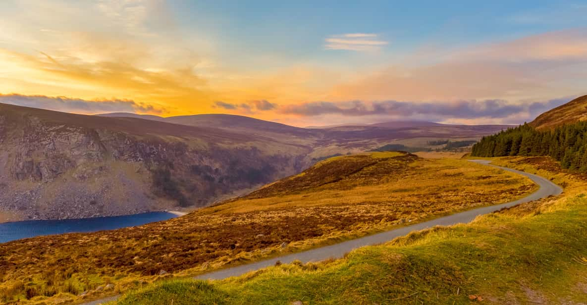 Start / End Point Wicklow WayVisitor information · 1.3 mi