What is recorded here
Listed in the SMR (1989) as an unlocated monument and classified as ‘Building’ based on a reference in the OS Letters to ‘a ruin of an old edifice about which I could get no traditional account.’ (O'Flanagan 1933, 189). In 1991 a ruined post-medieval farmhouse was incorrectly identified as this edifice (SMR file) and, in consequence, this was listed in the RMP (1995): the error was further compounded by the fact that the location of the farmhouse depicted on the RMP map was incorrect. The exact location of the ‘edifice’ described in the OS Letters remains unknown.
Compiled by: Paul Walsh
Date of upload: 25 July 2012
The monument record does not grant public access. Check the route and ask the landowner before entering private land.
- What survives
- Recorded monument
Places near here
 IndicatedFairy fort / stone ringfort · 240 yd
 CashelnamaddaFairy fort / stone ringfort · 1014 yd
 Church (in Ruins)Church · 1359 yd
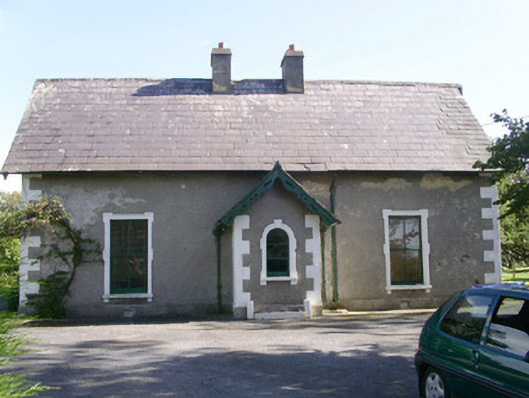 Denver Lodgehouse · 1.4 mi
 BenwiskinMountain / peak · 1.6 mi
 Gleniff Horseshoe DriveViewpoint · 1.8 mi
 Gleniff Horseshoe Drive 2Viewpoint · 1.9 mi
 Benwiskin South TopMountain / peak · 2.1 mi
 Creevykeel Court TombNeolithic court tomb · 2.2 mi
 Trawalua StrandBeach / strand · 2.4 mi
 Dermot & Grania's BedCave · 2.7 mi
 Classiebawn WoodsWood · 2.7 mi