What is recorded here
Cashelbane: A subcircular area (DG096-004001-) enclosed by two closely-spaced, collapsed stone walls both partially removed and elsewhere grassed over. A modern wall is built on the line of the inner enclosure to the S. The ground between the walls is level and grassed. It is c. 5m wide. The outer wall is only poorly represented. The overall external diameters of the site are 31.5m NNW-SSE × 28.8m NE-SW. The interior of the cashel is undulating with some rock outcrop. A trigonometrical station has been constructed in the interior. There are two roughly circular depressions in the SW quadrant of the interior possibly the remains of structures. The site is located in an undulating area of fair pasture, rock outcrop and rougher land, overlooking Kilcar town to the WSW.
The above description was derived from the 'Archaeological Survey of County Donegal. A description of the field antiquities of the County from the Mesolithic Period to the 17th century.' Compiled by: Brian Lacey with Eamon Cody, Claire Cotter, Judy Cuppage, Noel Dunne, Vincent Hurley, Celie O'Rahilly, Paul Walsh and Seán Ó Nualláin (Lifford: Donegal County Council, 1983). In certain instances the entries have been revised and updated.
Date of upload: 22 September 2008
The monument record does not grant public access. Check the route and ask the landowner before entering private land.
- What survives
- Recorded monument
Places near here
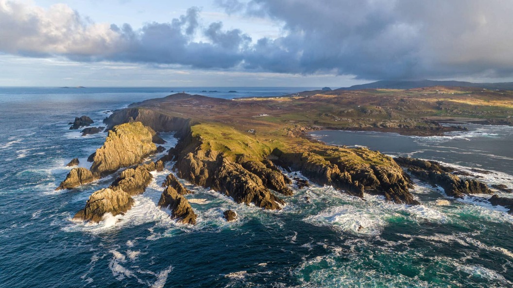 Leacht in Caiseal CharnaLeacht · 402 yd
 Caiseal Charna Stone Ringfort near the Spanish ChurchFairy fort / stone ringfort · 434 yd
 Cill Chartha Teach Paróistepresbytery/parochial/curate's house · 595 yd
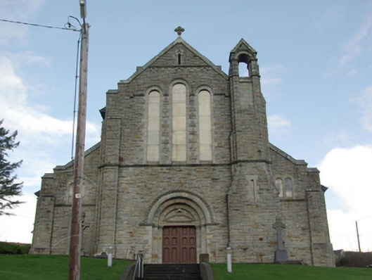 Caitliceach Naomh Cartha Eaglaischurch/chapel · 814 yd
 CastleCastle, unclassified · 1.1 mi
 CroaghmuckrosMountain / peak · 1.2 mi
 TraloarBeach / strand · 1.5 mi
 TrabaneBeach / strand · 1.7 mi
 Dundawoona Point / Pointe an DúinHeadland · 2.1 mi
 Cliffs at TeelinPublicly named cliff or headland · 2.2 mi
 CrownaradMountain / peak · 3.4 mi
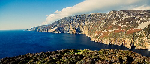 Slieve LeagueViewpoint · 4.2 mi