What is recorded here
Unlocated building within townland, shown on 1665 Estate Map by William Wright and Thomas Wilson.
Compiled by: Caimin O'Brien
Date of upload: 17 December 2007
The monument record does not grant public access. Check the route and ask the landowner before entering private land.
- What survives
- Recorded monument
Places near here
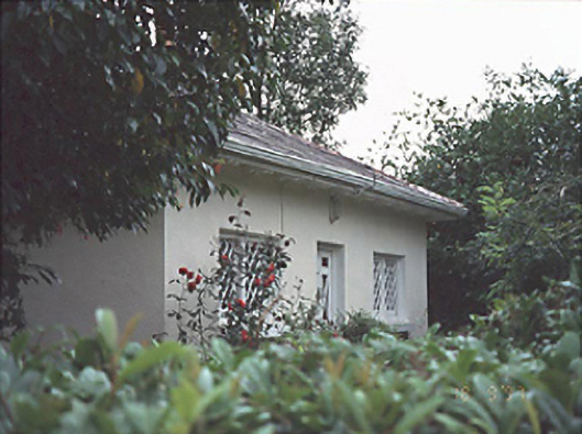 Gracefieldgate lodge · 1146 yd
 Enclosure in Boley (ballyadams By.)Enclosure · 1286 yd
 Enclosure in Inch (ballyadams By.)Enclosure · 1312 yd
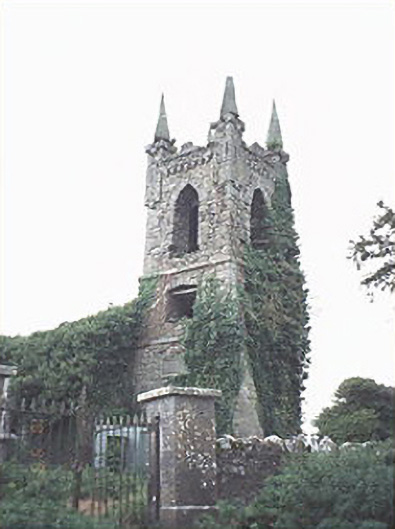 Rathaspick Churchchurch/chapel · 1426 yd
 Bawn in MilltownBawn · 1.1 mi
 Ballylehane CastleCastle, unclassified · 1.3 mi
 DM PenderMemorial · 4.0 mi
 Brackney WoodForest · 5.2 mi
 Mass Rock WalkWalking route · 5.2 mi
 Cobbler's Castle WalkWalking route · 5.3 mi
 Mass RockNamed rock · 5.4 mi
 Oughaval Wood MapVisitor information · 5.6 mi