
What is recorded here
Situated on a hillslope, in undulating pasture, sheltered by higher ground to NE, E and SE and with a commanding view along the valley to N, S and W. On top of motte (WM025-001----) are the remains of a rectangular-shaped structure (WM025-001001-) defined by a low bank of earth and stone with a gap at SSE end which may represent the entrance. The slope of the mound outside this possible entrance is not as steep as elsewhere. There is a modern depression where the NW corner of the structure would have been.
Compiled by Alison McQueen, Vera Rahilly and Caimin O’Brien.
Date of upload: 03 September 2019
The monument record does not grant public access. Check the route and ask the landowner before entering private land.
- What survives
- Recorded monument
Places near here
 Partially indicatedEcclesiastical enclosure · 606 yd
 Boleyvillish CastleCastle · 760 yd
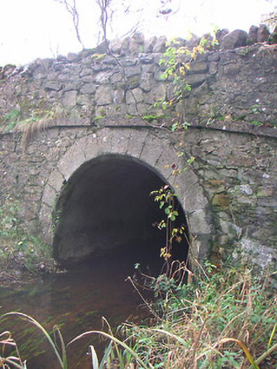 Corr Bridgebridge · 1186 yd
 Site of CastleCastle, unclassified · 1436 yd
 Togherstown Househouse · 1668 yd
 Font (present location) in TogherstownFont (present location) · 1.0 mi
 Hill of UisneachMountain / peak · 1.4 mi
 Ancient Ring FortWood · 1.9 mi
 European ashEuropean ash · 2.3 mi
 KnockastiaMountain / peak · 5.8 mi
 Abbeyshrule AbbeyRuins · 7.4 mi
 Guest ServicesVisitor information · 8.1 mi
Other information
Photo: Credit not shown in the picture search · Rights wording not checked; contact us if this picture should be removed