What is recorded here
Located on the shoreline of Killala Bay, 140m E of Moyne Franciscan friary (MA022-024001-).
A rectangular building, annotated ‘Ruin’, is depicted on the 1838 OS 6-inch maps, its long axis extending roughly NW−SE parallel to the shoreline; ‘Ruin’ is also indicated on the 1929 edition, but the building is no longer clearly delineated.
The extant remains consist of a short broken length of mortared stone wall (L. c. 3m NNE−SSW; Wth 0.95m). It straddles the land-edge scarp (H c. 2m), extending on a NNE-SSW alignment perpendicular to the shoreline. The SSW two thirds of the wall stand in a pasture field, reaching a height of 2m, but the NNE end of the wall drops to the shoreline, giving it an overall height of c. 3m. The wall is thickly overgrown with ivy. A sod-covered mound (6m NW−SE; H 1m) of rubble and earth abuts the W face of the wall, perhaps incorporating collapsed remnants of other walls.
The exact original form, function and date of this structure are unknown. Given its proximity to the monastery and its shoreline location, it is possible that it was used for the loading/ unloading and storage of goods transported by ships which plied trade routes and fisheries at sea and on the River Moy.
Compiled by: Jane O'Shaughnessy
Date of upload: 15 June 2020
The monument record does not grant public access. Check the route and ask the landowner before entering private land.
- What survives
- Recorded monument
Places near here
 Moyne AbbeyHeritage attraction · 149 yd
 Moyne Abbey in ruinsReligious house, Franciscan friars · 182 yd
 Barnasock PointHeadland · 909 yd
 Battlefields of MoyneBattlefield · 1131 yd
 Bartragh IslandIsland · 1237 yd
 Cross FortFairy fort / earthen ringfort · 1358 yd
 Gortabradawn PointHeadland · 1450 yd
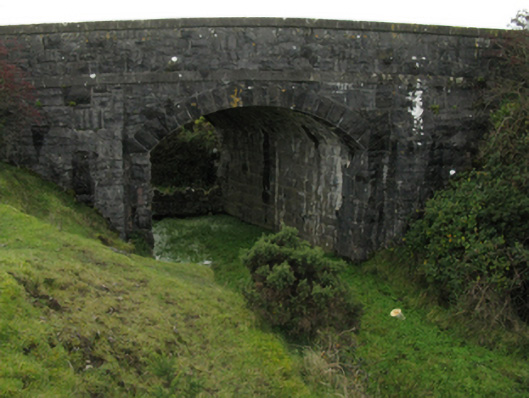 bridgebridge · 1681 yd
 IndicatedFairy fort / earthen ringfort · 1724 yd
 Horse IslandIslet · 1733 yd
 Ballysakeery CastleCastle, unclassified · 1.3 mi
 CastleCastle, unclassified · 1.3 mi