
What is recorded here
Eight-arch rubble limestone road bridge over river and flood plain, c.1825. Random squared rubble limestone walls with cut-limestone triangular cut-waters to piers to north-west, squared rubble limestone tapered buttress pier to centre, dressed limestone buttress piers to south-east, and dressed limestone coping to parapets. Series of three elliptical arches with single round flanking arches, series of three round arches to south-east having limestone ashlar voussoirs incorporating keystones, and squared rubble limestone soffits having remains of unpainted render over. Sited spanning River Nore with grass banks to river including flood plain to south-east.
Making a dramatic visual statement in the River Nore valley a substantial road bridge represents an important element of the early nineteenth-century civil engineering legacy of County Kilkenny. Representing two distinct sections producing a cohesive whole as identified by the careful grouping of the arches over the river and the associated flood plain the bridge exhibits a traditional construction in barely-refined locally-sourced stone with dressed details exhibiting high quality stone masonry.
This does not grant access. Most recorded buildings are privately owned; view them only from public ground unless the owner allows entry.
Places near here
 Enclosure in BrownsbarnEnclosure · 421 yd
 Church in KilcullenChurch · 840 yd
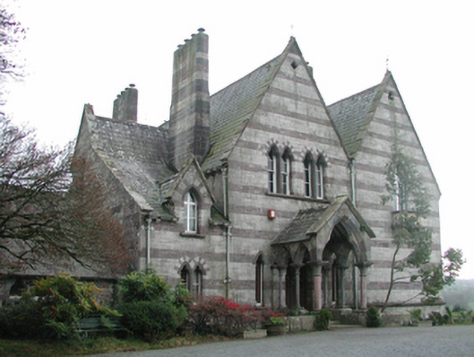 Brownsbarn Housecountry house · 867 yd
 Enclosure in KilcullenEnclosure · 1056 yd
 Ballyduff CastleCastle · 1096 yd
 Castle, Ballyduff HouseCastle, tower house · 1099 yd
 The CoumWood · 1.2 mi
 James FrenyMemorial · 1.3 mi
 Graveyard in InistiogeGraveyard · 1.3 mi
 St Colmcille's WellVisitor information · 1.3 mi
 St. Mary's ChurchVisitor information · 1.4 mi
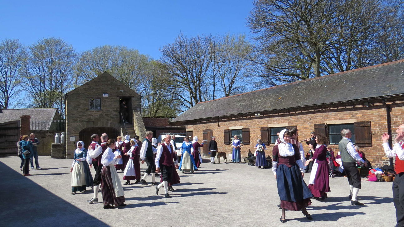 Woodstock Heritage MuseumMuseum · 1.4 mi
Other information
Photo: Brian Hodge · CC BY-SA 2.0